Last Updated:
2025-Q4
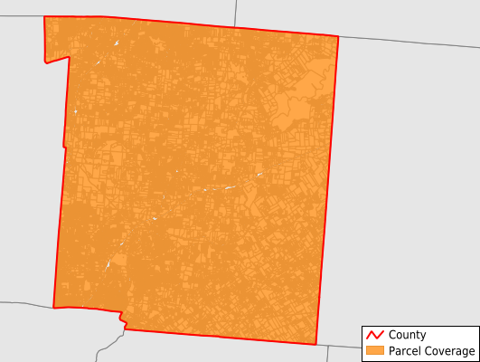
Parcels in County:
108,335
Parcel data available to download as a GDB, GeoPackage, Shapefile, Excel, CSV, or Google Earth KML file.
All purchased data comes with six months of access, including any updates, at no additional cost.
Key attribute coverage for Warren County
The percentage of Warren County parcels containing the following key attributes:
Owner: 99.4%
Parcel Number: 100%
Acreage (Calculated): 100%
Site Address: 99.8%
Mailing Address: 99.9%
All available attributes in Warren County
Parcel Number
Site Address
Owner
Transfer Date
Neighborhood Code
Land Use Code
Land Use Class
Acreage (deeded)
Acreage (calculated)
Perimeter
Municipality
School District
Zip Code
Flood Zone
Flood Zone Subtype
Census Tract
Census Block Group
Census Block
Map Book
Map Page
Mail Name
Mail Address1
Mail Address2
Mail Address3
Legal Desc1
Buildings
Addr Sec Unit Num
Place Gnis Code
Land Cover
Elevation
Owner Occupied
Robust Id
Usps Residential
Alt Id 1
Alt Id 2
Plss Description
Plss Township
Plss Range
Crop Cover
Acreage Adjacent With Sameowner
Flood Zones
Nearest Transmission Line Dist Ft
Nearest Substation Dist Ft
Derived Geom Properties
Robust Id Source
Municipalities Respresented in Warren County
Loveland City: 475
Clear Creek Township: 16,345
Deerfield Township: 16,376
Franklin Township: 14,882
Hamilton Township: 14,427
Harlan Township: 3,074
Lebanon City: 8,136
Massie Township: 910
Salem Township: 3,108
Turtlecreek Township: 7,541
Union Township: 2,749
Washington Township: 1,761
Wayne Township: 4,412
Mason City: 14,102
Save money when you buy data in bulk
We offer discounted pricing on county and state downloads.