Last Updated:
2025-Q4
Parcels in County:
57,629
Parcel data available to download as a GDB, GeoPackage, Shapefile, Excel, CSV, or Google Earth KML file.
All purchased data comes with six months of access, including any updates, at no additional cost.
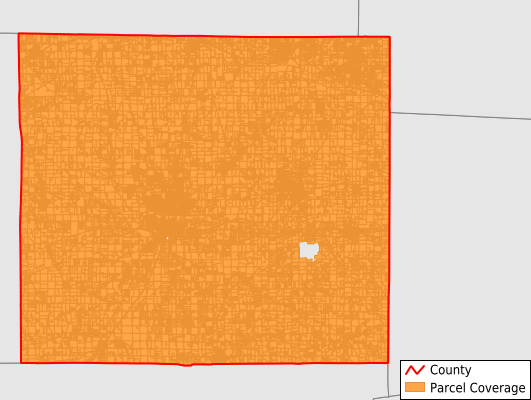
Key attribute coverage for Wayne County
The percentage of Wayne County parcels containing the following key attributes:
Owner: 99.3%
Parcel Number: 99.3%
Acreage (Calculated): 100%
Site Address: 99.3%
Mailing Address: 99.3%
All available attributes in Wayne County
Parcel Number
Site Address
Owner
Transfer Date
Sale Price
Land Use Code
Land Use Class
Acreage (deeded)
Acreage (calculated)
Perimeter
Municipality
School District
Zip Code
Flood Zone
Flood Zone Subtype
Census Tract
Census Block Group
Census Block
Total Market Value
Land Market Value
Building Market Value
Mail Address1
Buildings
Addr Sec Unit Num
Place Gnis Code
Land Cover
Elevation
Owner Occupied
Robust Id
Usps Residential
Alt Id 1
Plss Description
Plss Township
Plss Range
Crop Cover
Acreage Adjacent With Sameowner
Flood Zones
Nearest Transmission Line Dist Ft
Nearest Substation Dist Ft
Derived Geom Properties
Municipalities Respresented in Wayne County
Norton City: 3
Baughman Township: 2,764
Canaan Township: 2,805
Chester Township: 1,706
Chippewa Township: 4,755
Clinton Township: 2,095
Congress Township: 2,962
East Union Township: 2,978
Franklin Township: 2,016
Green Township: 5,946
Milton Township: 1,749
Paint Township: 1,360
Plain Township: 1,961
Salt Creek Township: 1,542
Sugar Creek Township: 3,458
Wayne Township: 2,075
Wooster City: 11,775
Wooster Township: 2,458
Rittman City: 3,219
Save money when you buy data in bulk
We offer discounted pricing on county and state downloads.