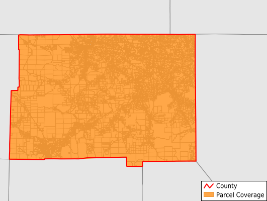
McKean County
Parcel Data
Price: $200.00
Last Updated:
2025-Q4
Parcels in County:
27,529
Parcel data available to download as a GDB, GeoPackage, Shapefile, Excel, CSV, or Google Earth KML file.
All purchased data comes with six months of access, including any updates, at no additional cost.
Key attribute coverage for McKean County
The percentage of McKean County parcels containing the following key attributes:
Owner: 97.9%
Parcel Number: 100%
Acreage (Calculated): 100%
Site Address: 97.8%
Mailing Address: 97.9%
All available attributes in McKean County
Parcel Number
Site Address
Owner
Building Size
Land Use Code
Land Use Class
Acreage (deeded)
Acreage (calculated)
Perimeter
Municipality
School District
Zip Code
Flood Zone
Flood Zone Subtype
Census Tract
Census Block Group
Census Block
Land Market Value
Building Market Value
Mail Address1
Addr Sec Unit Num
Place Gnis Code
Land Cover
Elevation
Owner Occupied
Robust Id
Usps Residential
Crop Cover
Acreage Adjacent With Sameowner
Flood Zones
Nearest Transmission Line Dist Ft
Nearest Substation Dist Ft
Derived Geom Properties
Municipalities Respresented in McKean County
Bradford City: 4,509
Eldred Borough: 464
Kane Borough: 1,862
Lewis Run Borough: 368
Mount Jewett Borough: 593
Port Allegany Borough: 1,066
Smethport Borough: 778
Annin Township: 533
Bradford Township: 2,588
Ceres Township: 746
Corydon Township: 460
Eldred Township: 1,075
Foster Township: 2,578
Hamilton Township: 851
Hamlin Township: 918
Keating Township: 1,909
Lafayette Township: 1,184
Liberty Township: 1,275
Norwich Township: 727
Otto Township: 1,099
Sergeant Township: 453
Wetmore Township: 1,490
Save money when you buy data in bulk
We offer discounted pricing on county and state downloads.