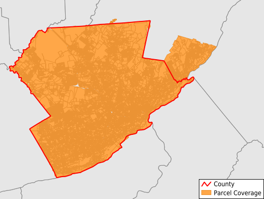
Monroe County
Parcel Data
Price: $200.00
Last Updated:
2026-Q2
Parcels in County:
108,921
Parcel data available to download as a GDB, GeoPackage, Shapefile, Excel, CSV, or Google Earth KML file.
All purchased data comes with six months of access, including any updates, at no additional cost.
Key attribute coverage for Monroe County
The percentage of Monroe County parcels containing the following key attributes:
Owner: 99.9%
Parcel Number: 90.1%
Acreage (Calculated): 100%
Site Address: 95.7%
Mailing Address: 99.8%
All available attributes in Monroe County
Parcel Number
Site Address
Owner
Transfer Date
Sale Price
Land Use Code
Land Use Class
Acreage (deeded)
Acreage (calculated)
Perimeter
Municipality
School District
Zip Code
Flood Zone
Flood Zone Subtype
Census Tract
Census Block Group
Census Block
Land Market Value
Building Market Value
Mail Address1
Mail Address2
Mail Address3
Legal Desc1
Buildings
Addr Sec Unit Num
Place Gnis Code
Land Cover
Elevation
Owner Occupied
Robust Id
Usps Residential
Alt Id 1
Crop Cover
Acreage Adjacent With Sameowner
Flood Zones
Nearest Transmission Line Dist Ft
Nearest Substation Dist Ft
Derived Geom Properties
Robust Id Source
Municipalities Respresented in Monroe County
East Stroudsburg Borough: 2,726
Mount Pocono Borough: 1,541
Stroudsburg Borough: 2,032
Barrett Township: 3,067
Chestnuthill Township: 7,916
Coolbaugh Township: 15,256
Eldred Township: 1,711
Hamilton Township: 3,955
Jackson Township: 3,740
Middle Smithfield Township: 10,408
Paradise Township: 1,867
Pocono Township: 6,554
Polk Township: 4,291
Price Township: 2,313
Ross Township: 2,565
Smithfield Township: 3,910
Stroud Township: 8,548
Tobyhanna Township: 10,352
Tunkhannock Township: 5,177
Delaware Water Gap Borough: 329
Save money when you buy data in bulk
We offer discounted pricing on county and state downloads.