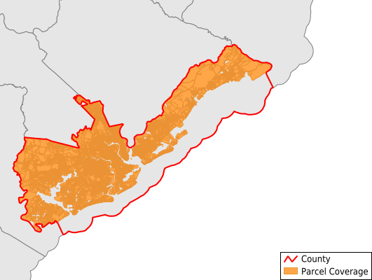
Charleston County
Parcel Data
Price: $250.00
Last Updated:
2026-Q3
Parcels in County:
197,284
Parcel data available to download as a GDB, GeoPackage, Shapefile, Excel, CSV, or Google Earth KML file.
All purchased data comes with six months of access, including any updates, at no additional cost.
Key attribute coverage for Charleston County
The percentage of Charleston County parcels containing the following key attributes:
Owner: 99.9%
Parcel Number: 100%
Acreage (Calculated): 100%
Site Address: 99.9%
Mailing Address: 99.9%
All available attributes in Charleston County
Parcel Number
Site Address
Owner
Transfer Date
Sale Price
Land Use Code
Land Use Class
Acreage (deeded)
Acreage (calculated)
Perimeter
Municipality
School District
Zip Code
Flood Zone
Flood Zone Subtype
Census Tract
Census Block Group
Census Block
Land Market Value
Building Market Value
Mail Address1
Mail Address3
Legal Desc1
Buildings
Addr Sec Unit Num
Place Gnis Code
Land Cover
Elevation
Owner Occupied
Robust Id
Usps Residential
Crop Cover
Acreage Adjacent With Sameowner
Flood Zones
Nearest Transmission Line Dist Ft
Nearest Substation Dist Ft
Derived Geom Properties
Robust Id Source
Geom Id
Duplicate Geom Seq
Duplicate Geom Ct
Municipalities Respresented in Charleston County
Edisto Island CCD: 2,585
James Island CCD: 21,626
Johns Island CCD: 15,144
McClellanville CCD: 5,317
Mount Pleasant CCD: 49,422
Ravenel-Hollywood CCD: 10,632
Wadmalaw Island CCD: 2,308
Charleston Central CCD: 14,840
Kiawah Island-Seabrook Island CCD: 8,300
North Charleston CCD: 35,449
West Ashley CCD: 31,580
Save money when you buy data in bulk
We offer discounted pricing on county and state downloads.