Last Updated:
2025-Q4
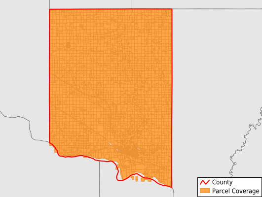
Parcels in County:
9,302
Parcel data available to download as a GDB, GeoPackage, Shapefile, Excel, CSV, or Google Earth KML file.
All purchased data comes with six months of access, including any updates, at no additional cost.
Key attribute coverage for Clay County
The percentage of Clay County parcels containing the following key attributes:
Owner: 99.6%
Parcel Number: 100%
Acreage (Calculated): 100%
Site Address: 61.3%
Mailing Address: 98.7%
All available attributes in Clay County
Parcel Number
Site Address
Owner
Neighborhood Code
Land Use Code
Land Use Class
Acreage (deeded)
Acreage (calculated)
Perimeter
Municipality
School District
Zip Code
Flood Zone
Flood Zone Subtype
Census Tract
Census Block Group
Census Block
Coowner
Mail Name
Mail Address1
Mail Address2
Mail Address3
Legal Desc1
Legal Desc2
Legal Desc3
Addr Sec Unit Num
Place Gnis Code
Land Cover
Elevation
Owner Occupied
Robust Id
Usps Residential
Alt Id 1
Plss Description
Plss Township
Plss Range
Plss Section
Crop Cover
Acreage Adjacent With Sameowner
Flood Zones
Nearest Transmission Line Dist Ft
Nearest Substation Dist Ft
Derived Geom Properties
Municipalities Respresented in Clay County
Irene City: 107
Vermillion City: 3,757
Wakonda Town: 261
Pleasant Valley Township: 392
Bethel Township: 351
Prairie Center Township: 433
Vermillion Township: 504
Spirit Mound Township: 432
Norway Township: 488
Meckling Township: 424
Garfield Township: 394
Glenwood Township: 353
Riverside Township: 342
Fairview Township: 758
Star Township: 302
Save money when you buy data in bulk
We offer discounted pricing on county and state downloads.