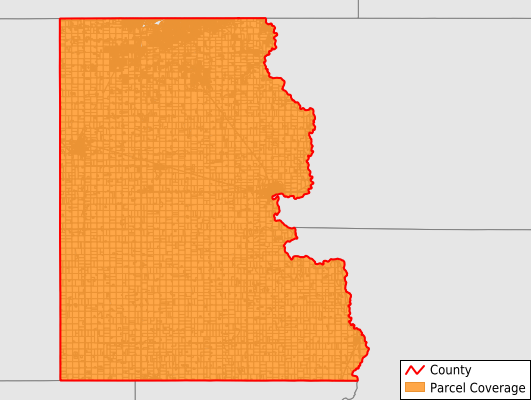
Lincoln County
Parcel Data
Price: $200.00
Last Updated:
2025-Q4
Parcels in County:
32,404
Parcel data available to download as a GDB, GeoPackage, Shapefile, Excel, CSV, or Google Earth KML file.
All purchased data comes with six months of access, including any updates, at no additional cost.
Key attribute coverage for Lincoln County
The percentage of Lincoln County parcels containing the following key attributes:
Owner: 99.6%
Parcel Number: 99.7%
Acreage (Calculated): 100%
Site Address: 82.5%
Mailing Address: 99.7%
All available attributes in Lincoln County
Parcel Number
Site Address
Owner
Zoning
Acreage (deeded)
Acreage (calculated)
Perimeter
Municipality
School District
Zip Code
Flood Zone
Flood Zone Subtype
Census Tract
Census Block Group
Census Block
Mail Name
Mail Address1
Mail Address3
Legal Desc1
Legal Desc2
Legal Desc3
Buildings
Addr Sec Unit Num
Place Gnis Code
Land Cover
Elevation
Owner Occupied
Robust Id
Usps Residential
Plss Description
Plss Township
Plss Range
Plss Section
Crop Cover
Acreage Adjacent With Sameowner
Flood Zones
Nearest Transmission Line Dist Ft
Nearest Substation Dist Ft
Derived Geom Properties
Municipalities Respresented in Lincoln County
Beresford City: 276
Canton City: 1,515
Fairview Town: 75
Harrisburg City: 2,903
Hudson Town: 296
Lennox City: 1,036
Sioux Falls City: 13,062
Tea City: 1,873
Worthing City: 446
Eden Township: 324
Norway Township: 388
Pleasant Township: 410
Brooklyn Township: 341
Fairview Township: 204
Highland Township: 393
Lincoln Township: 331
Delaware Township: 324
Canton Township: 599
Lynn Township: 489
Grant Township: 419
Dayton Township: 675
La Valley Township: 715
Springdale Township: 2,119
Perry Township: 774
Delapre Township: 2,416
Save money when you buy data in bulk
We offer discounted pricing on county and state downloads.