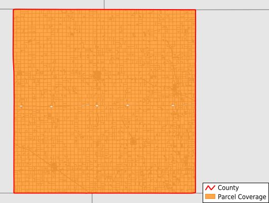
McCook County
Parcel Data
Price: $250.00
Last Updated:
2025-Q4
Parcels in County:
6,735
Parcel data available to download as a GDB, GeoPackage, Shapefile, Excel, CSV, or Google Earth KML file.
All purchased data comes with six months of access, including any updates, at no additional cost.
Key attribute coverage for McCook County
The percentage of McCook County parcels containing the following key attributes:
Owner: 99.5%
Parcel Number: 100%
Acreage (Calculated): 100%
Site Address: 43.1%
Mailing Address: 98.3%
All available attributes in McCook County
Parcel Number
Site Address
Owner
Land Use Code
Land Use Class
Acreage (deeded)
Acreage (calculated)
Perimeter
Municipality
School District
Zip Code
Flood Zone
Flood Zone Subtype
Census Tract
Census Block Group
Census Block
Mail Name
Mail Address1
Mail Address3
Legal Desc1
Legal Desc2
Legal Desc3
Addr Sec Unit Num
Place Gnis Code
Land Cover
Elevation
Owner Occupied
Robust Id
Usps Residential
Alt Id 1
Plss Description
Plss Township
Plss Range
Plss Section
Crop Cover
Acreage Adjacent With Sameowner
Flood Zones
Nearest Transmission Line Dist Ft
Nearest Substation Dist Ft
Derived Geom Properties
Municipalities Respresented in McCook County
Bridgewater City: 414
Canistota City: 395
Montrose City: 287
Salem City: 838
Spencer City: 209
Spring Valley Township: 397
Grant Township: 300
Canistota Township: 271
Union Township: 300
Emery Township: 242
Greenland Township: 443
Montrose Township: 349
Richland Township: 247
Salem Township: 292
Benton Township: 272
Ramsey Township: 245
Sun Prairie Township: 276
Pearl Township: 202
Bridgewater Township: 257
Jefferson Township: 261
Brookfield Township: 238
Save money when you buy data in bulk
We offer discounted pricing on county and state downloads.