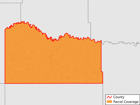
Mellette County
Parcel Data
Price: $200.00
Last Updated:
2025-Q1
Parcels in County:
7,542
Parcel data available to download as a GDB, GeoPackage, Shapefile, Excel, CSV, or Google Earth KML file.
All purchased data comes with six months of access, including any updates, at no additional cost.
Key attribute coverage for Mellette County
The percentage of Mellette County parcels containing the following key attributes:
Owner: 68.4%
Parcel Number: 100%
Acreage (Calculated): 100%
Site Address: 66.3%
Mailing Address: 68.4%
All available attributes in Mellette County
Parcel Number
Site Address
Owner
Transfer Date
Sale Price
Acreage (deeded)
Acreage (calculated)
Perimeter
Municipality
School District
Zip Code
Census Block Group
Census Block
Total Market Value
Coowner
Mail Address1
Mail Address3
Legal Desc1
Legal Desc2
Legal Desc3
Place Gnis Code
Land Cover
Elevation
Owner Occupied
Robust Id
Usps Residential
Alt Id 1
Plss Description
Plss Township
Plss Range
Plss Section
Crop Cover
Acreage Adjacent With Sameowner
Municipalities Respresented in Mellette County
Cedarbutte UT: 466
Central Mellette UT: 2,274
White River City: 686
Wood Town: 526
Rocky Ford Township: 247
Ring Thunder Township: 152
Riverside Township: 287
Cody Township: 330
Red Fish Township: 221
Prospect Township: 391
Running Bird Township: 175
Norris Township: 134
Blackpipe Township: 161
Surprise Valley Township: 140
Mosher Township: 200
Butte Township: 173
Fairview Township: 169
Bad Nation Township: 326
Rosebud Township: 329
New Surprise Valley Township: 154
Save money when you buy data in bulk
We offer discounted pricing on county and state downloads.