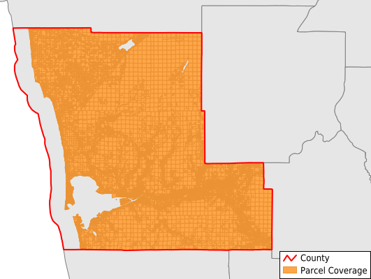
Grays Harbor County
Parcel Data
Price: $200.00
Last Updated:
2026-Q1
Parcels in County:
61,942
Parcel data available to download as a GDB, GeoPackage, Shapefile, Excel, CSV, or Google Earth KML file.
All purchased data comes with six months of access, including any updates, at no additional cost.
Key attribute coverage for Grays Harbor County
The percentage of Grays Harbor County parcels containing the following key attributes:
Owner: 98.6%
Parcel Number: 98.7%
Acreage (Calculated): 100%
Site Address: 67.9%
Mailing Address: 98.6%
All available attributes in Grays Harbor County
Parcel Number
Site Address
Owner
Land Use Code
Land Use Class
Zoning
Acreage (deeded)
Acreage (calculated)
Perimeter
Municipality
School District
Zip Code
Flood Zone
Flood Zone Subtype
Census Tract
Census Block Group
Census Block
Land Market Value
Building Market Value
Mail Address1
Mail Address2
Mail Address3
Legal Desc1
Addr Sec Unit Num
Place Gnis Code
Land Cover
Elevation
Owner Occupied
Robust Id
Usps Residential
Alt Id 1
Plss Description
Plss Township
Plss Range
Plss Section
Crop Cover
Acreage Adjacent With Sameowner
Flood Zones
Nearest Transmission Line Dist Ft
Nearest Substation Dist Ft
Derived Geom Properties
Robust Id Source
Municipalities Respresented in Grays Harbor County
Aberdeen-Hoquiam CCD: 16,788
Elma CCD: 3,463
Humptulips CCD: 1,483
Neilton CCD: 1,067
McCleary CCD: 2,082
Malone-Porter CCD: 1,376
Ocean Shores CCD: 17,287
North River CCD: 929
Oakville CCD: 1,662
Quinault Reservation CCD: 3,806
Westport CCD: 6,182
Wishkah CCD: 1,398
Montesano CCD: 4,419
Save money when you buy data in bulk
We offer discounted pricing on county and state downloads.