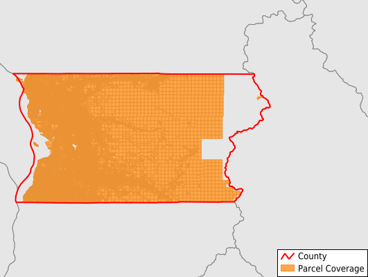
Snohomish County
Parcel Data
Price: $200.00
Last Updated:
2025-Q3
Parcels in County:
318,136
Parcel data available to download as a GDB, GeoPackage, Shapefile, Excel, CSV, or Google Earth KML file.
All purchased data comes with six months of access, including any updates, at no additional cost.
Key attribute coverage for Snohomish County
The percentage of Snohomish County parcels containing the following key attributes:
Owner: 98.5%
Parcel Number: 98.6%
Acreage (Calculated): 100%
Site Address: 98.5%
Mailing Address: 98.5%
All available attributes in Snohomish County
Parcel Number
Site Address
Owner
Land Use Code
Land Use Class
Acreage (deeded)
Acreage (calculated)
Perimeter
Municipality
School District
Zip Code
Flood Zone
Flood Zone Subtype
Census Tract
Census Block Group
Census Block
Total Market Value
Land Market Value
Building Market Value
Mail Address1
Mail Address2
Mail Address3
Buildings
Addr Sec Unit Num
Place Gnis Code
Land Cover
Elevation
Owner Occupied
Robust Id
Usps Residential
Alt Id 1
Plss Description
Plss Township
Plss Range
Plss Section
Crop Cover
Acreage Adjacent With Sameowner
Flood Zones
Nearest Transmission Line Dist Ft
Nearest Substation Dist Ft
Derived Geom Properties
Municipalities Respresented in Snohomish County
Arlington CCD: 14,455
Darrington CCD: 3,636
Edmonds CCD: 94,156
Everett CCD: 59,689
Granite Falls CCD: 9,058
Lake Stevens CCD: 12,642
Maltby CCD: 22,450
Marysville CCD: 29,435
Monroe CCD: 12,620
Sultan CCD: 13,368
Snohomish CCD: 19,808
Stanwood CCD: 19,083
Tulalip Reservation CCD: 7,732
Save money when you buy data in bulk
We offer discounted pricing on county and state downloads.