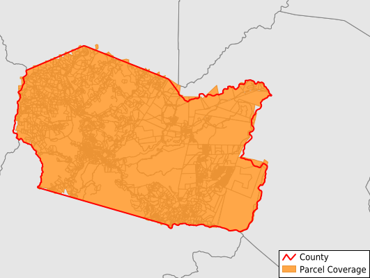
Tucker County
Parcel Data
Price: $250.00
Last Updated:
2025-Q3
Parcels in County:
10,311
Parcel data available to download as a GDB, GeoPackage, Shapefile, Excel, CSV, or Google Earth KML file.
All purchased data comes with six months of access, including any updates, at no additional cost.
Key attribute coverage for Tucker County
The percentage of Tucker County parcels containing the following key attributes:
Owner: 100%
Parcel Number: 100%
Acreage (Calculated): 100%
Site Address: 79.2%
Mailing Address: 98.6%
All available attributes in Tucker County
Parcel Number
Site Address
Owner
Land Use Code
Land Use Class
Acreage (deeded)
Acreage (calculated)
Perimeter
Municipality
School District
Zip Code
Flood Zone
Flood Zone Subtype
Census Tract
Census Block Group
Census Block
Total Market Value
Story Height
Mail Name
Mail Address1
Mail Address3
Legal Desc1
Exterior
Style
Total Rooms
Buildings
Addr Sec Unit Num
Place Gnis Code
Land Cover
Elevation
Owner Occupied
Robust Id
Usps Residential
Alt Id 1
Alt Id 2
Crop Cover
Acreage Adjacent With Sameowner
Flood Zones
Nearest Transmission Line Dist Ft
Nearest Substation Dist Ft
Derived Geom Properties
Municipalities Respresented in Tucker County
Black Fork District: 2,906
Clover District: 569
Davis District: 1,412
Dry Fork District: 3,005
Fairfax District: 935
Licking District: 483
St. George District: 999
Save money when you buy data in bulk
We offer discounted pricing on county and state downloads.