Last Updated:
2026-Q2
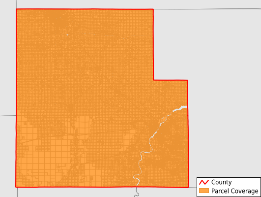
Parcels in County:
46,486
Parcel data available to download as a GDB, GeoPackage, Shapefile, Excel, CSV, or Google Earth KML file.
All purchased data comes with six months of access, including any updates, at no additional cost.
Key attribute coverage for Wood County
The percentage of Wood County parcels containing the following key attributes:
Owner: 100%
Parcel Number: 100%
Acreage (Calculated): 100%
Site Address: 68.6%
Mailing Address: 100%
All available attributes in Wood County
Parcel Number
Site Address
Owner
Land Use Code
Land Use Class
Zoning
Acreage (deeded)
Acreage (calculated)
Perimeter
Municipality
School District
Zip Code
Flood Zone
Flood Zone Subtype
Census Tract
Census Block Group
Census Block
Total Market Value
Land Market Value
Building Market Value
Mail Address1
Buildings
Addr Sec Unit Num
Place Gnis Code
Land Cover
Elevation
Owner Occupied
Robust Id
Usps Residential
Plss Description
Plss Township
Plss Range
Plss Section
Crop Cover
Acreage Adjacent With Sameowner
Flood Zones
Nearest Transmission Line Dist Ft
Nearest Substation Dist Ft
Derived Geom Properties
Robust Id Source
Municipalities Respresented in Wood County
Arpin Village: 226
Arpin Town: 920
Auburndale Village: 373
Auburndale Town: 878
Biron Village: 637
Cameron Town: 393
Cary Town: 745
Cranmoor Town: 709
Dexter Town: 575
Grand Rapids Town: 4,269
Hansen Town: 832
Hewitt Village: 416
Hiles Town: 448
Lincoln Town: 1,278
Marshfield City: 7,492
Marshfield Town: 674
Milladore Village: 206
Milladore Town: 822
Nekoosa City: 1,335
Pittsville City: 549
Port Edwards Village: 1,022
Port Edwards Town: 1,218
Remington Town: 629
Richfield Town: 1,227
Rock Town: 921
Rudolph Village: 350
Rudolph Town: 984
Saratoga Town: 3,758
Seneca Town: 940
Sherry Town: 919
Sigel Town: 1,048
Vesper Village: 361
Wisconsin Rapids City: 8,465
Wood Town: 867
Save money when you buy data in bulk
We offer discounted pricing on county and state downloads.