The smart choice for parcel data.

ReportAll

ReportAll

The smart choice for parcel data.

Skip to content
Menu
  • Data Store
  • Solutions
  • Support
  • About Us
  • Industries
  • Contact Us

Category: Applications

DroneGlide Fence uses parcel property lines to keep your drone within your property.
  • Posted on December 7, 2018September 2, 2022
  • Applications

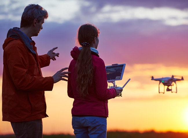
Announcing the release of our newest application: DroneGlide Fence™

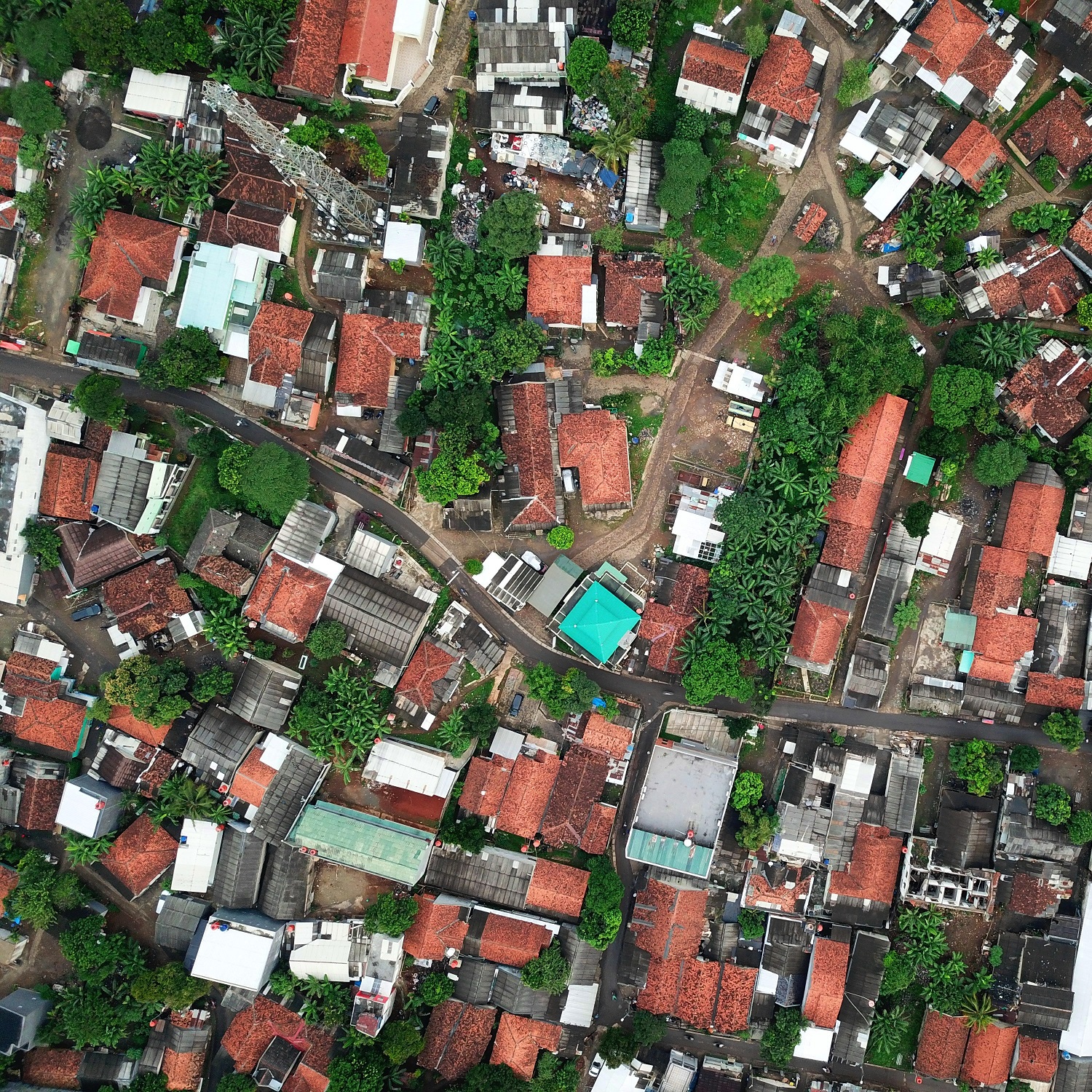
Using our advanced Geofencing technology, your drone will safely stay within your own property boundaries! Have you ever worried about…
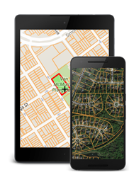
Continue Reading
Build a Mailing List
  • Posted on November 13, 2018September 2, 2022
  • Applications

Land Brokers: Developing a Database of Large Acreage Property Owners

In a recent blog post, “GIS Tools and Applications to Give Land Brokers a Competitive Advantage,” we discussed the unique…

Continue Reading
Property Line App for Land Broker
  • Posted on November 1, 2018January 19, 2022
  • Applications

GIS Tools and Applications to Give Land Brokers a Competitive Advantage

If you have ever priced, purchased or owned a large parcel of land such as a ranch, farm, timber track…

Continue Reading
Parcel Data Layer
  • Posted on October 25, 2018January 19, 2022
  • Applications

Developing Commercial Property: Research & Site Selection Tools

How do you find the commercial property everyone is seeking? Acquiring prime commercial real estate where none is available. Location,…

Continue Reading
  • Posted on October 19, 2018January 19, 2022
  • Applications

How Do You Identify a Property When Disaster Strikes?

When Hurricane Katrina hit in 2005 it was devastating. The damage was widespread, and in many cases the storm had…

Continue Reading
  • Posted on September 19, 2018January 19, 2022
  • Applications

Back to School with Your Online Map Tool

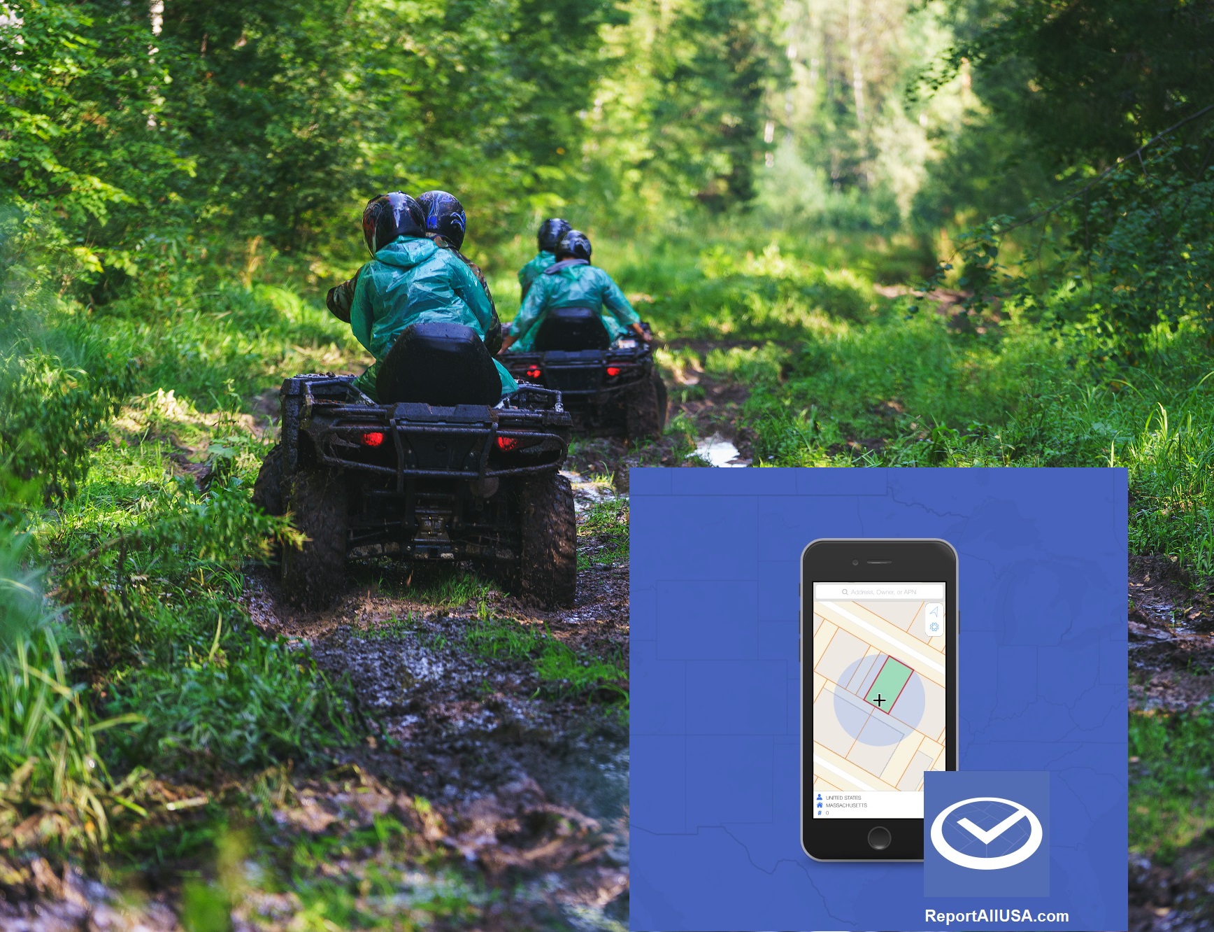
As we’re flooded with “back to school” specials and messaging across most areas of the U.S., the team at Real…

Continue Reading
Property Line Map App
  • Posted on August 21, 2018January 19, 2022
  • Applications

New LandGlide Feature Allows Pinning and Exporting Lists of Parcel Data

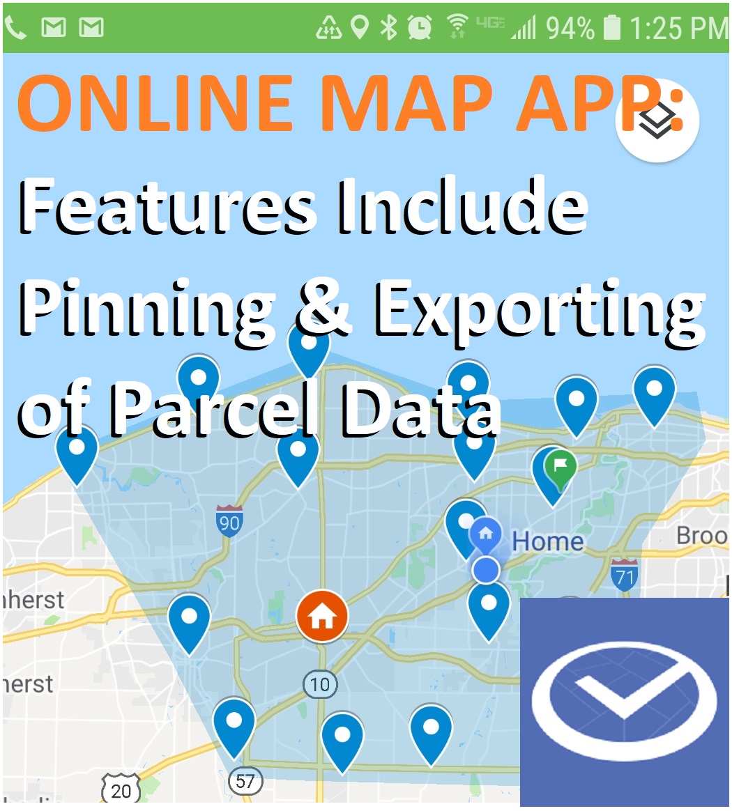
New LandGlide feature just announced. New LandGlide feature just announced. Pin multiple location data sets and share with others –…

Continue Reading
property lines for drone geofencing
  • Posted on July 30, 2018January 19, 2022
  • Applications

Is Geofencing the Next Step in Drone Technology?

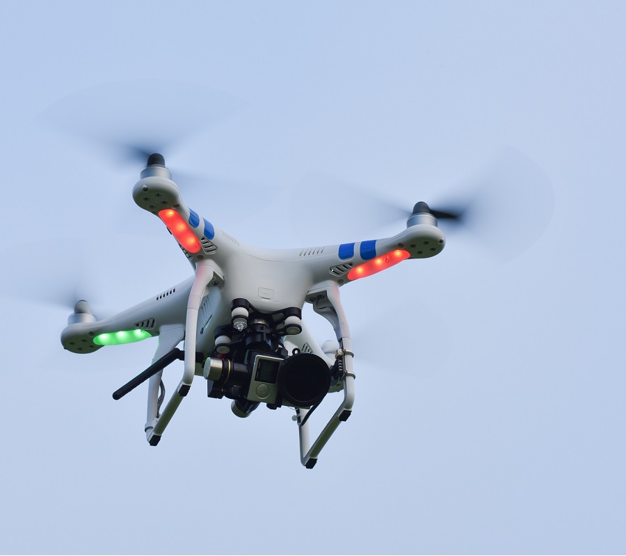
So what is geofencing and how does it relate to drones? The term “geofencing” is evolving as does the technology.…

Continue Reading
add building footprint to satellite imagery
  • Posted on June 4, 2018January 19, 2022
  • Applications

Building Footprint GIS Data Works with Satellite Imagery for a More Complete View

Digital technology is evolving at an exponential rate, each advance creating new possibilities never considered. GPS and GIS technologies are…

Continue Reading
App for Finding Vacant Property Owners
  • Posted on March 30, 2018January 19, 2022
  • Applications

Property Line App Identifies Owners of Vacant Homes

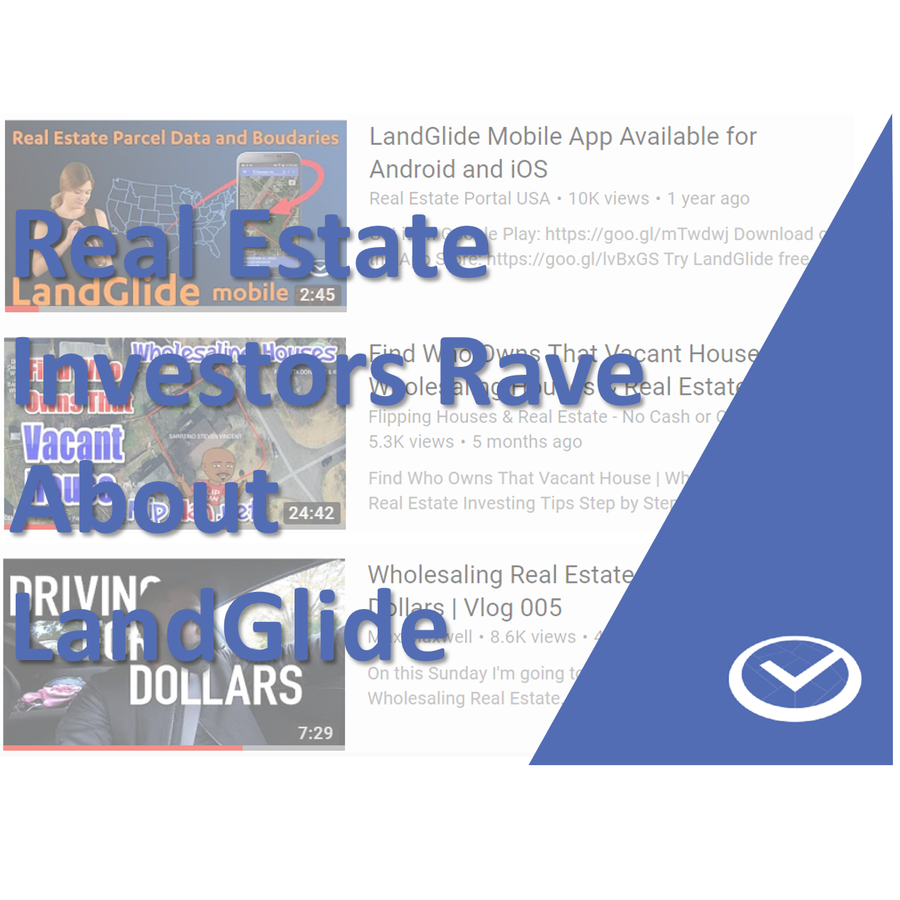
The team at ReportAll, creator of the property line app LandGlide, continues to discover unsolicited, complimentary, reviews and testimonials for LandGlide. …

Continue Reading

Posts navigation

Previous Page Page 1 Page 2 Page 3 Next Page

Categories

  • Applications (29)
  • Building Footprints (6)
  • Energy (8)
  • Farming (1)
  • Forestry (8)
  • GIS (25)
  • Government (9)
  • Hunting (5)
  • Insurance (5)
  • Land Brokers (3)
  • Marketing (4)
  • Press Releases (11)
  • Property Development (3)
  • Property Line Maps (14)
  • Real Estate (23)
  • Solar Farming (6)
  • Uncategorized (3)
  • Utilities (5)
© Copyright 2023 – ReportAll
Cell Theme by DesignOrbital ⋅ Powered by WordPress