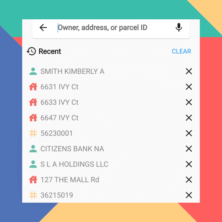
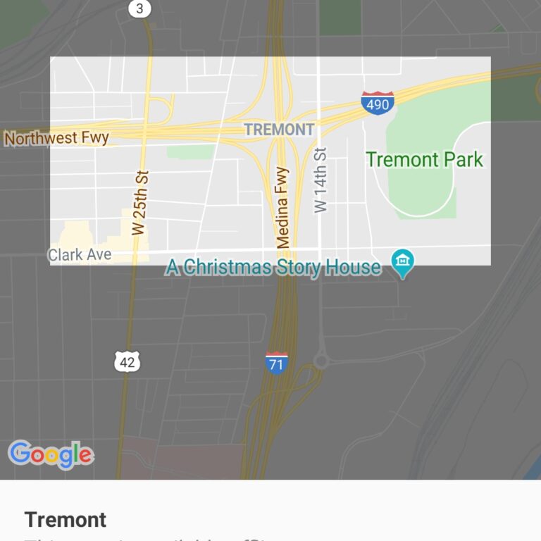
The smart choice for parcel data.

ReportAll

ReportAll

The smart choice for parcel data.

Skip to content
Menu
  • Data Store
  • Solutions
  • Support
  • About Us
  • Industries
  • Contact Us

Category: Property Line Maps

  • Posted on August 30, 2021February 21, 2022
  • Farming

Real-World Industry Applications Powered By ReportAll’s API

Why Do ReportAll Customers Rely On Our Parcel Data API Our API provides your application with fast and reliable access…

Continue Reading
  • Posted on March 31, 2021February 21, 2022
  • Applications

Access LandGlide® Property Data On All Devices

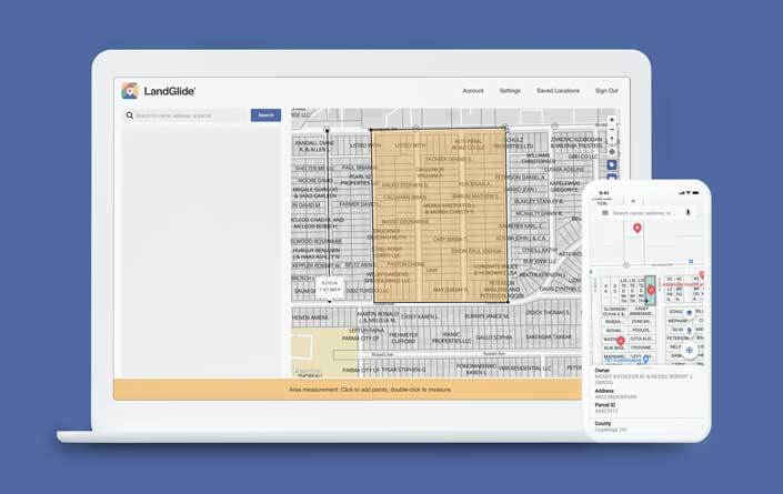
You Asked, We Listened – LandGlide® for the Web is Here! We’re excited to announce that the LandGlide® app you…

Continue Reading
national parcel data provider
  • Posted on June 26, 2020February 21, 2022
  • Applications

How to Compare National Parcel Data Providers

Sourcing reliable and up-to-date national parcel data can be a daunting task. Which provider has the best coverage? Does this…

Continue Reading
  • Posted on December 30, 2019February 21, 2022
  • GIS

What Can Our Parcel Data App Do Offline?

In our last update, LandGlide® – Our Leading GPS Parcel Data App Has A New Look, we covered the new…

Continue Reading
  • Posted on October 3, 2019February 21, 2022
  • Applications

LandGlide – Our Leading GPS Parcel Data App Has A New Look

Empower Your Industry With Our Updated Parcel Data App At ReportAll, we understand the desire to interact with technology that…

Continue Reading
Free Property Lines and Parcel Data
  • Posted on February 26, 2019January 19, 2022
  • Applications

The Cost of Free Parcel Property Line Data

Free isn’t free when comparing property data sets from multiple counties or parishes  “Data wants to be free” was an early…

Continue Reading
Drone trespassing app
  • Posted on February 19, 2019January 19, 2022
  • Applications

Am I Trespassing if My Drone Crosses into My Neighbors’ Property Boundary?

New DroneGlide™ Fence software is the answer to keeping your drone safely within your own property lines.  The stories are out there…

Continue Reading
Property Lines Map App
  • Posted on December 12, 2018January 19, 2022
  • GIS

Insurance Claims Adjusters Benefit from Property Line Overlays and Aerial Images

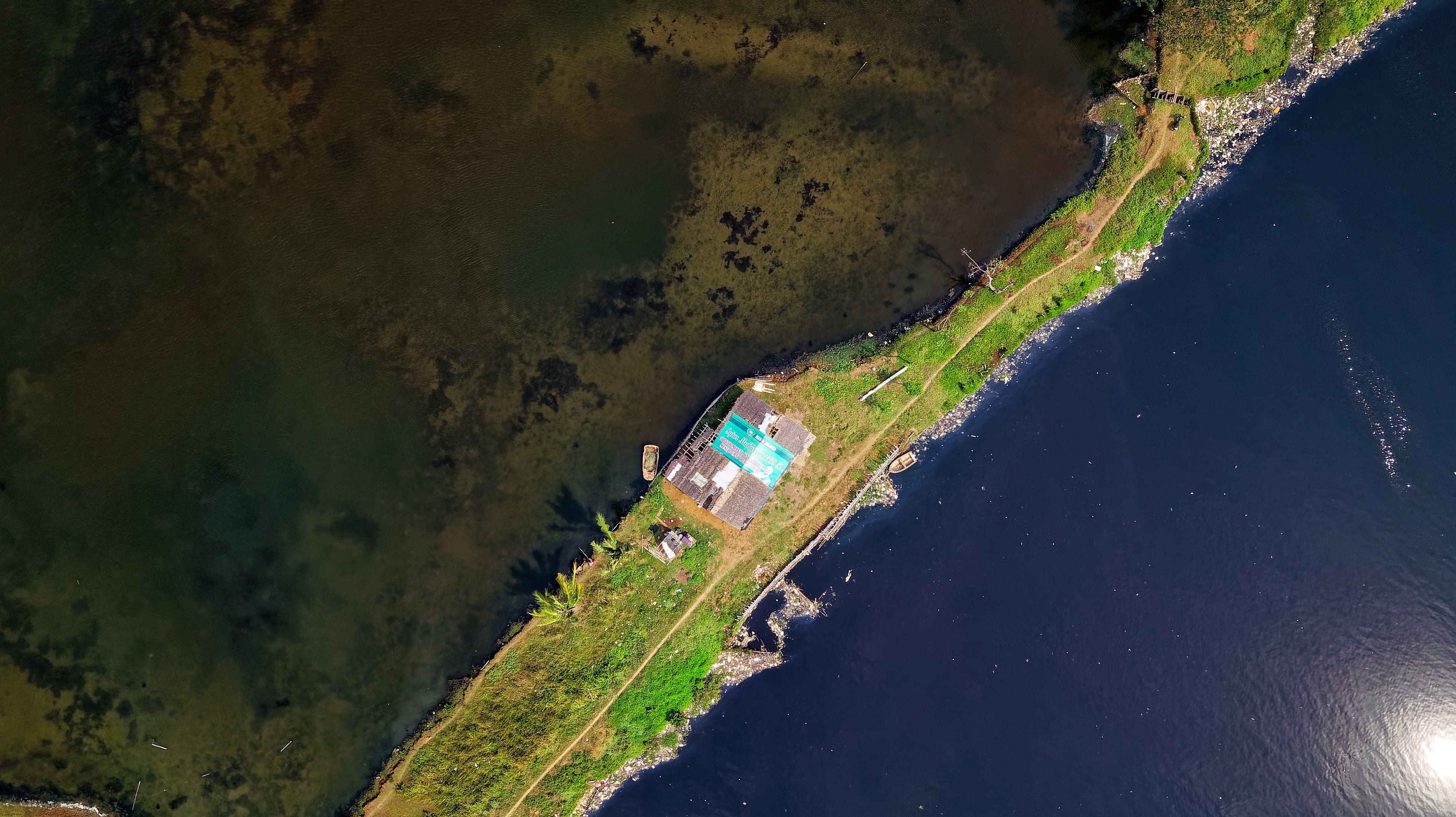
Recent natural disasters, hurricanes and wildfires for example, have created wide areas of devastation and an abundance of insurance claims. In…

Continue Reading
DroneGlide Fence uses parcel property lines to keep your drone within your property.
  • Posted on December 7, 2018January 19, 2022
  • Applications

Announcing the release of our newest application: DroneGlide Fence™

Using our advanced Geofencing technology, your drone will safely stay within your own property boundaries! Have you ever worried about…

Continue Reading
Build a Mailing List
  • Posted on November 13, 2018January 19, 2022
  • Applications

Land Brokers: Developing a Database of Large Acreage Property Owners

In a recent blog post, “GIS Tools and Applications to Give Land Brokers a Competitive Advantage,” we discussed the unique…

Continue Reading

Posts navigation

Page 1 Page 2 Next Page

Categories

  • Applications (28)
  • Building Footprints (6)
  • Energy (7)
  • Farming (1)
  • Forestry (8)
  • GIS (25)
  • Government (9)
  • Hunting (5)
  • Insurance (5)
  • Land Brokers (3)
  • Marketing (4)
  • Press Releases (11)
  • Property Development (3)
  • Property Line Maps (13)
  • Real Estate (22)
  • Solar Farming (5)
  • Uncategorized (1)
  • Utilities (4)
© Copyright 2022 – ReportAll
Cell Theme by DesignOrbital ⋅ Powered by WordPress