In our last update, LandGlide® – Our Leading GPS Parcel Data App Has A New Look, we covered the new features of LandGlide. If you are unfamiliar, LandGlide is a mobile app where you are able to obtain and download spatial and parcel map data. The new features include everything from enhanced visual appeal to improved accessibility. One of the most valuable updates is offline mode – available for both Android and iOS devices.
What To Know About LandGlide Offline Mode
Offline mode for our GIS data tool ensures you never have to worry about being out of cell range while you’re out in the field. Whether you work in real estate, forestry, utilities, or simply enjoy outdoor recreation, a land parcel app can be a beneficial tool onsite.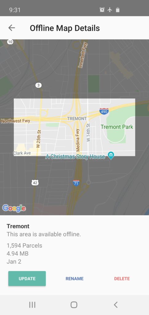
Before heading out in the field, select and download maps of any areas you will be accessing, and you’ll be able to use the offline base map to view property details by tapping or swiping the property information panel.
In addition, while in offline mode, you can drop pins to keep track of certain locations within an area or add notes to property records. The dropped pins work exactly the same way as they do when the app is online, and information is synced and stored to your profile once the app comes back online.
Please keep in mind that when using offline mode, the search functionality will not work since the GIS parcel viewer app needs the internet to make real time data requests.
How To Use Parcel Maps in Offline Mode
Once you download a map on an Android or iOS device, you’ll be able to use the offline parcel map while in the field.A Step-By-Step Guide To Using The App Offline
You have access to your offline map no matter where you are, and anytime you need to do work.
What Our Customers Say
Many of the customers who use offline mode to access parcel property ownership records and property lines find the app to be very important to their work. We took the time to ask a few customers in different industries what they think of offline mode and what features they enjoy. Many of them mentioned how paramount it is to use offline mode while they are out in the field doing real estate appraisal, hunting, utility work, or forestry.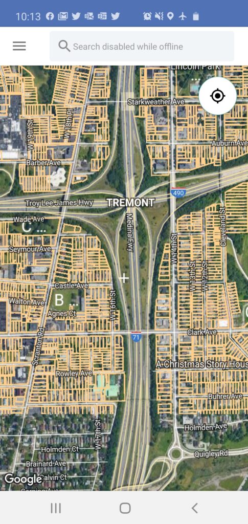
One customer mentions, “I work as a tax assessor and I love LandGlide as it helps in locating properties…”
Another customer says, “Excellent for us deer hunters who have to know whose property we are on and where the property boundaries lie. Love it and use it all the time.”
This is just some of the feedback we’ve received from our customers using LandGlide’s offline mode. Whether our customers stumble upon our GIS parcel viewer app or their company uses it on a day-to-day basis, the consensus of using this app is that offline mode is a necessity to get the job done.
How To Access LandGlide
Give the new features, including offline mode, a try! Download LandGlide from the iOS App Store for iPhone or Google Play for Android and try our parcel property data mobile app FREE for the first week.Remember, if you want to take advantage of our other national parcel database products, we also offer geospatial data for desktops, an API as well as shapefiles for download, just to name a few solutions. If you need more tools for parcel maps for your line of work, then check out Parlay 2.0 (designed for use with Google Earth), ReportAll API, ReportAll Online, and parcel data downloads. Each of these products will offer you instant access to GIS data in a variety of different formats.
If you have any questions about support for the offline mode or you need help with any of the features that LandGlide offers, please don’t hesitate to reach out to ReportAll by calling (216) 712-7779 or emailing us at sales@reportallusa.com.