What the Inflation Reduction Act Means for the Renewable Energy Industry
The biggest investment in climate and energy in American history, the Inflation Reduction Act (IRA) will bring billions in tax…
The smart choice for parcel data.
The smart choice for parcel data.

The biggest investment in climate and energy in American history, the Inflation Reduction Act (IRA) will bring billions in tax…

ReportAll has the largest, most up-to date parcel polygon data layer, but did you know that we have several enriched layer attributes that can be used for unique geographical analyses? From elevation, flood zone types and more, we can help you find the answers you need.

So what is geofencing and how does it relate to drones? The term “geofencing” is evolving as does the technology.…
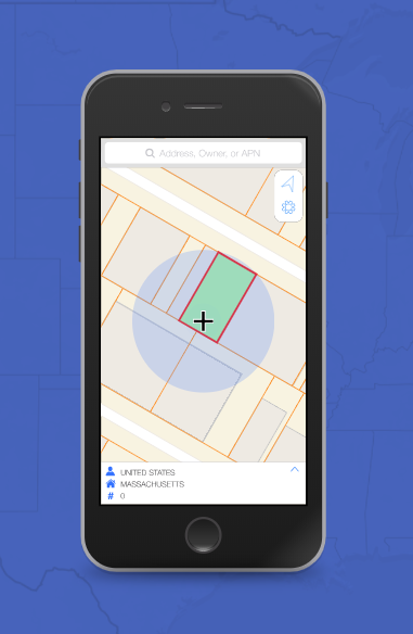
Are you a current user of our LandGlide app, a mobile application that displays property lines online? The application is…

Is it important to you or your business to identify who owns the property, where one property ends and another…