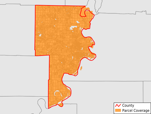
Crittenden County
Parcel Data
Last Updated:
2024-Q4
Parcels in County:
26,034
Parcel data available to download as a GDB, GeoPackage, Shapefile, Excel, CSV, or Google Earth KML file.
All purchased data comes with six months of access, including any updates, at no additional cost.
Key attribute coverage for Crittenden County
The percentage of Crittenden County parcels containing the following key attributes:
Owner: 100%
Parcel Number: 100%
Acreage (Calculated): 100%
Site Address: 98.1%
Mailing Address: 99.9%
All available attributes in Crittenden County
Parcel Number
Site Address
Owner
Building Size
Neighborhood Code
Land Use Code
Land Use Class
Acreage (deeded)
Acreage (calculated)
Perimeter
Municipality
School District
Zip Code
Flood Zone
Flood Zone Subtype
Census Tract
Census Block Group
Census Block
Total Market Value
Land Market Value
Building Market Value
Mail Name
Mail Address1
Mail Address3
Legal Desc1
Year Built
Total Bath
Addr Sec Unit Num
Place Gnis Code
Land Cover
Elevation
Owner Occupied
Robust Id
Usps Residential
Plss Description
Plss Township
Plss Range
Plss Section
Crop Cover
Acreage Adjacent With Sameowner
Municipalities Respresented in Crittenden County
Black Oak Township: 576
Bob Ward Township: 1,028
Fogleman Township: 1,061
Jackson Township: 1,299
Jasper Township: 6,661
Lucas Township: 1,124
Mississippi Township: 10,556
Mound City Township: 574
Proctor Township: 903
Tyronza Township: 1,398
Wappanocca Township: 854
Save money when you buy data in bulk
We offer discounted pricing on county and state downloads.