Last Updated:
2025-Q1
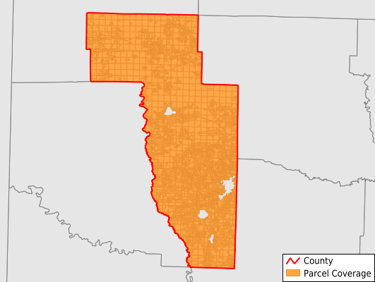
Parcels in County:
10,412
Parcel data available to download as a GDB, GeoPackage, Shapefile, Excel, CSV, or Google Earth KML file.
All purchased data comes with six months of access, including any updates, at no additional cost.
Key attribute coverage for Howard County
The percentage of Howard County parcels containing the following key attributes:
Owner: 97.8%
Parcel Number: 100%
Acreage (Calculated): 100%
Site Address: 72.3%
Mailing Address: 96.4%
All available attributes in Howard County
Parcel Number
Site Address
Owner
Building Size
Neighborhood Code
Land Use Code
Land Use Class
Acreage (calculated)
Perimeter
Municipality
School District
Zip Code
Flood Zone
Flood Zone Subtype
Census Tract
Census Block Group
Census Block
Total Market Value
Land Market Value
Building Market Value
Mail Address1
Mail Address3
Legal Desc1
Year Built
Total Bath
Addr Sec Unit Num
Place Gnis Code
Land Cover
Elevation
Owner Occupied
Robust Id
Usps Residential
Plss Description
Plss Township
Plss Range
Plss Section
Crop Cover
Acreage Adjacent With Sameowner
Municipalities Respresented in Howard County
Blackland Township: 194
Blue Bayou Township: 148
Blue Ridge Township: 205
Brewer Township: 353
Buck Range Township: 253
Burg Township: 80
Center Point Township: 742
Clay Township: 215
County Line Township: 376
Dillard Township: 229
Duckett Township: 169
Franklin Township: 319
Holly Creek Township: 210
Madison Township: 1,061
Mineral Springs Township: 703
Mountain Township: 288
Muddy Fork Township: 235
Nashville Township: 3,381
Saline Township: 183
Saratoga Township: 259
Umpire Township: 566
Tollette Township: 243
Save money when you buy data in bulk
We offer discounted pricing on county and state downloads.