Last Updated:
2025-Q2
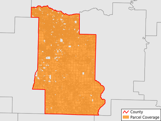
Parcels in County:
38,740
Parcel data available to download as a GDB, GeoPackage, Shapefile, Excel, CSV, or Google Earth KML file.
All purchased data comes with six months of access, including any updates, at no additional cost.
Key attribute coverage for Lonoke County
The percentage of Lonoke County parcels containing the following key attributes:
Owner: 98.8%
Parcel Number: 100%
Acreage (Calculated): 100%
Site Address: 77.6%
Mailing Address: 97.2%
All available attributes in Lonoke County
Parcel Number
Site Address
Owner
Transfer Date
Sale Price
Building Size
Neighborhood Code
Land Use Code
Land Use Class
Acreage (calculated)
Perimeter
Municipality
School District
Zip Code
Flood Zone
Flood Zone Subtype
Census Tract
Census Block Group
Census Block
Total Market Value
Land Market Value
Building Market Value
Mail Name
Mail Address1
Mail Address3
Legal Desc1
Year Built
Total Bath
Addr Sec Unit Num
Place Gnis Code
Land Cover
Elevation
Owner Occupied
Robust Id
Usps Residential
Plss Description
Plss Township
Plss Range
Plss Section
Crop Cover
Acreage Adjacent With Sameowner
Flood Zones
Nearest Transmission Line Dist Ft
Nearest Substation Dist Ft
Derived Geom Properties
Municipalities Respresented in Lonoke County
Butler Township: 1,970
Carlisle Township: 1,919
Caroline Township: 2,788
Cleveland Township: 236
Crooked Creek Township: 915
Dortch Township: 169
Eagle Township: 929
Fletcher Township: 304
Furlow Township: 635
Goodrum Township: 1,304
Gray Township: 1,748
Gum Woods Township: 1,818
Hamilton Township: 278
Indian Bayou Township: 483
Isbell Township: 221
Lafayette Township: 451
Lonoke Township: 3,123
Magness Township: 2,917
Oak Grove Township: 2,235
Pettus Township: 367
Prairie Township: 328
Pulaski Township: 490
Richwoods Township: 315
Scott Township: 119
Totten Township: 464
Walls Township: 241
Ward Township: 2,262
Williams Township: 464
York Township: 9,099
Save money when you buy data in bulk
We offer discounted pricing on county and state downloads.