Last Updated:
2024-Q4
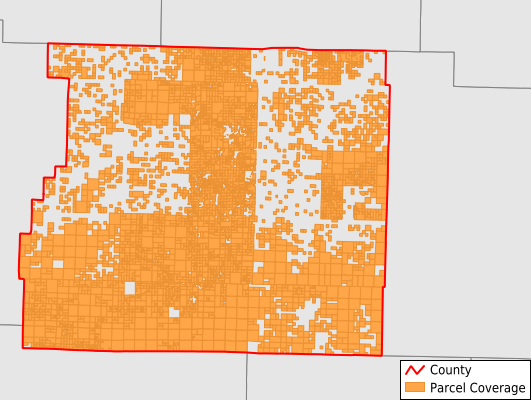
Parcels in County:
6,063
Parcel data available to download as a GDB, GeoPackage, Shapefile, Excel, CSV, or Google Earth KML file.
All purchased data comes with six months of access, including any updates, at no additional cost.
Key attribute coverage for Newton County
The percentage of Newton County parcels containing the following key attributes:
Owner: 100%
Parcel Number: 100%
Acreage (Calculated): 100%
Site Address: 39.3%
Mailing Address: 74.5%
All available attributes in Newton County
Parcel Number
Site Address
Owner
Building Size
Neighborhood Code
Land Use Code
Land Use Class
Acreage (calculated)
Perimeter
Municipality
School District
Zip Code
Census Tract
Census Block Group
Census Block
Total Market Value
Land Market Value
Building Market Value
Mail Name
Mail Address1
Mail Address3
Legal Desc1
Year Built
Total Bath
Addr Sec Unit Num
Place Gnis Code
Land Cover
Elevation
Owner Occupied
Robust Id
Plss Description
Plss Township
Plss Range
Plss Section
Crop Cover
Acreage Adjacent With Sameowner
Municipalities Respresented in Newton County
Big Creek Township: 184
Boston Township: 264
Grove Township: 170
Hasty Township: 75
Hickory Grove Township: 215
Hudson Township: 374
Jackson Township: 1,072
Jefferson Township: 584
Jones Township: 49
Kentucky Township: 94
Lincoln Township: 177
Low Gap Township: 87
Murray Township: 61
Osage Township: 116
Pleasant Hill Township: 772
Plumlee Township: 138
Polk Township: 261
Ponca Township: 67
Prairie Township: 89
Richland Township: 181
Van Buren Township: 109
White Township: 288
Marble Falls Township: 636
Save money when you buy data in bulk
We offer discounted pricing on county and state downloads.