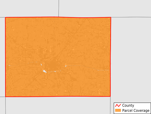
Jefferson County
Parcel Data
Price: $250.00
Last Updated:
2025-Q1
Parcels in County:
18,367
Parcel data available to download as a GDB, GeoPackage, Shapefile, Excel, CSV, or Google Earth KML file.
All purchased data comes with six months of access, including any updates, at no additional cost.
Key attribute coverage for Jefferson County
The percentage of Jefferson County parcels containing the following key attributes:
Owner: 99.6%
Parcel Number: 100%
Acreage (Calculated): 100%
Site Address: 46%
Mailing Address: 99.2%
All available attributes in Jefferson County
Parcel Number
Site Address
Owner
Acreage (calculated)
Perimeter
Municipality
School District
Zip Code
Census Tract
Census Block Group
Census Block
Mail Address1
Mail Address2
Mail Address3
Legal Desc1
Addr Sec Unit Num
Place Gnis Code
Land Cover
Elevation
Owner Occupied
Robust Id
Usps Residential
Alt Id 1
Alt Id 2
Plss Description
Plss Township
Plss Range
Plss Section
Crop Cover
Acreage Adjacent With Sameowner
Municipalities Respresented in Jefferson County
Black Hawk Township: 854
Buchanan Township: 1,108
Cedar Township: 1,120
Center Township: 1,938
Des Moines Township: 962
Fairfield City: 5,004
Liberty Township: 1,081
Lockridge Township: 1,128
Locust Grove Township: 1,303
Penn Township: 1,140
Polk Township: 997
Round Prairie Township: 857
Walnut Township: 875
Save money when you buy data in bulk
We offer discounted pricing on county and state downloads.