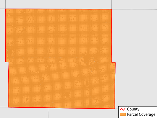
Page County
Parcel Data
Price: $250.00
Last Updated:
2025-Q2
Parcels in County:
18,405
Parcel data available to download as a GDB, GeoPackage, Shapefile, Excel, CSV, or Google Earth KML file.
All purchased data comes with six months of access, including any updates, at no additional cost.
Key attribute coverage for Page County
The percentage of Page County parcels containing the following key attributes:
Owner: 99.9%
Parcel Number: 100%
Acreage (Calculated): 100%
Site Address: 99.9%
Mailing Address: 99.9%
All available attributes in Page County
Parcel Number
Site Address
Owner
Land Use Code
Acreage (deeded)
Acreage (calculated)
Perimeter
Municipality
School District
Zip Code
Flood Zone
Flood Zone Subtype
Census Tract
Census Block Group
Census Block
Total Market Value
Land Market Value
Building Market Value
Coowner
Mail Name
Mail Address1
Mail Address2
Mail Address3
Legal Desc1
Legal Desc2
Legal Desc3
Addr Sec Unit Num
Place Gnis Code
Land Cover
Elevation
Owner Occupied
Robust Id
Usps Residential
Alt Id 1
Plss Description
Plss Township
Plss Range
Plss Section
Crop Cover
Acreage Adjacent With Sameowner
Flood Zones
Nearest Transmission Line Dist Ft
Nearest Substation Dist Ft
Derived Geom Properties
Municipalities Respresented in Page County
Amity Township: 854
Buchanan Township: 840
Colfax Township: 786
Douglas Township: 695
East River Township: 769
Fremont Township: 718
Grant Township: 3,668
Harlan Township: 868
Lincoln Township: 851
Morton Township: 638
Nebraska Township: 437
Nodaway Township: 3,733
Pierce Township: 1,227
Tarkio Township: 764
Valley Township: 841
Washington Township: 715
Save money when you buy data in bulk
We offer discounted pricing on county and state downloads.