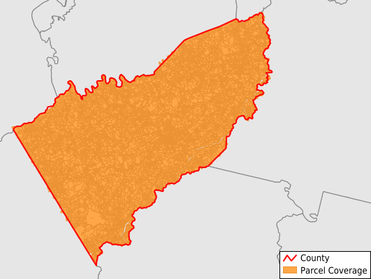
Floyd County
Parcel Data
Price: $200.00
Last Updated:
2025-Q1
Parcels in County:
15,069
Parcel data available to download as a GDB, GeoPackage, Shapefile, Excel, CSV, or Google Earth KML file.
All purchased data comes with six months of access, including any updates, at no additional cost.
Key attribute coverage for Floyd County
The percentage of Floyd County parcels containing the following key attributes:
Owner: 99.1%
Parcel Number: 99.9%
Acreage (Calculated): 100%
Site Address: 54.9%
Mailing Address: 97.8%
All available attributes in Floyd County
Parcel Number
Site Address
Owner
Transfer Date
Sale Price
Acreage (calculated)
Perimeter
Municipality
School District
Zip Code
Flood Zone
Flood Zone Subtype
Census Tract
Census Block Group
Census Block
Total Market Value
Land Market Value
Building Market Value
Coowner
Mail Address1
Mail Address3
Buildings
Addr Sec Unit Num
Land Cover
Elevation
Owner Occupied
Robust Id
Usps Residential
Crop Cover
Acreage Adjacent With Sameowner
Municipalities Respresented in Floyd County
Burks Fork District: 3,628
Court House District: 2,458
Indian Valley District: 2,954
Little River District: 3,287
Locust Grove District: 2,742
Save money when you buy data in bulk
We offer discounted pricing on county and state downloads.