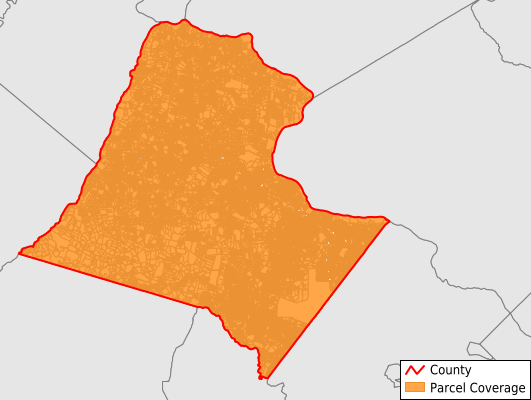
Loudoun County
Parcel Data
Price: $200.00
Last Updated:
2024-Q1
Parcels in County:
193,699
Parcel data available to download as a GDB, GeoPackage, Shapefile, Excel, CSV, or Google Earth KML file.
All purchased data comes with six months of access, including any updates, at no additional cost.
Key attribute coverage for Loudoun County
The percentage of Loudoun County parcels containing the following key attributes:
Owner: 75.4%
Parcel Number: 75.4%
Acreage (Calculated): 100%
Site Address: 94.7%
Mailing Address: 75.4%
All available attributes in Loudoun County
Parcel Number
Site Address
Owner
Acreage (deeded)
Acreage (calculated)
Perimeter
Municipality
School District
Zip Code
Flood Zone
Flood Zone Subtype
Census Tract
Census Block Group
Census Block
Mail Name
Mail Address1
Mail Address3
Legal Desc1
Buildings
Addr Sec Unit Num
Place Gnis Code
Land Cover
Elevation
Owner Occupied
Robust Id
Usps Residential
Alt Id 1
Crop Cover
Acreage Adjacent With Sameowner
Municipalities Respresented in Loudoun County
Blue Ridge District: 41,565
Broad Run District: 31,516
Catoctin District: 20,047
Dulles District: 25,948
Leesburg District: 19,787
Sterling District: 17,908
Algonkian District: 17,699
Ashburn District: 19,229
Save money when you buy data in bulk
We offer discounted pricing on county and state downloads.