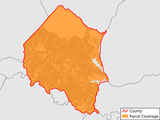
Stafford County
Parcel Data
Price: $200.00
Last Updated:
2024-Q3
Parcels in County:
62,137
Parcel data available to download as a GDB, GeoPackage, Shapefile, Excel, CSV, or Google Earth KML file.
All purchased data comes with six months of access, including any updates, at no additional cost.
Key attribute coverage for Stafford County
The percentage of Stafford County parcels containing the following key attributes:
Owner: 97.1%
Parcel Number: 99.5%
Acreage (Calculated): 100%
Site Address: 86.1%
Mailing Address: 97.1%
All available attributes in Stafford County
Parcel Number
Site Address
Owner
Transfer Date
Sale Price
Building Size
Zoning
Acreage (calculated)
Perimeter
Municipality
School District
Zip Code
Flood Zone
Flood Zone Subtype
Census Tract
Census Block Group
Census Block
Total Market Value
Land Market Value
Building Market Value
Mail Address1
Mail Address3
Buildings
Place Gnis Code
Land Cover
Elevation
Owner Occupied
Robust Id
Usps Residential
Alt Id 1
Alt Id 2
Crop Cover
Acreage Adjacent With Sameowner
Municipalities Respresented in Stafford County
Aquia District: 9,373
Falmouth District: 8,835
George Washington District: 9,647
Griffis-Widewater District: 7,301
Hartwood District: 11,195
Rock Hill District: 7,590
Garrisonville District: 8,196
Save money when you buy data in bulk
We offer discounted pricing on county and state downloads.