Last Updated:
2026-Q1
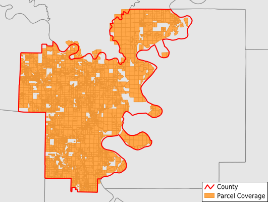
Parcels in County:
9,767
Parcel data available to download as a GDB, GeoPackage, Shapefile, Excel, CSV, or Google Earth KML file.
All purchased data comes with six months of access, including any updates, at no additional cost.
Key attribute coverage for Desha County
The percentage of Desha County parcels containing the following key attributes:
Owner: 100%
Parcel Number: 100%
Acreage (Calculated): 100%
Site Address: 48.7%
Mailing Address: 97.1%
All available attributes in Desha County
Parcel Number
Site Address
Owner
Building Size
Neighborhood Code
Land Use Code
Land Use Class
Acreage (calculated)
Perimeter
Municipality
School District
Zip Code
Flood Zone
Flood Zone Subtype
Census Tract
Census Block Group
Census Block
Total Market Value
Land Market Value
Building Market Value
Mail Name
Mail Address1
Mail Address3
Legal Desc1
Year Built
Total Bath
Addr Sec Unit Num
Place Gnis Code
Land Cover
Elevation
Owner Occupied
Robust Id
Usps Residential
Plss Description
Plss Township
Plss Range
Plss Section
Crop Cover
Acreage Adjacent With Sameowner
Flood Zones
Nearest Transmission Line Dist Ft
Nearest Substation Dist Ft
Derived Geom Properties
Robust Id Source
Municipalities Respresented in Desha County
Bowie Township: 2,415
Clayton Township: 741
Franklin Township: 1,022
Halley Township: 435
Jefferson Township: 437
Mississippi Township: 364
Randolph Township: 2,376
Red Fork Township: 990
Richland Township: 337
Silver Lake Township: 414
Walnut Lake Township: 233
Save money when you buy data in bulk
We offer discounted pricing on county and state downloads.