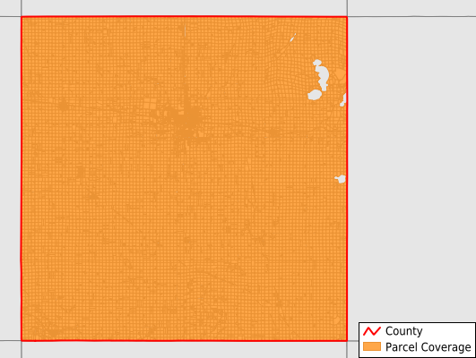
Clay County
Parcel Data
Price: $250.00
Last Updated:
2025-Q3
Parcels in County:
18,701
Parcel data available to download as a GDB, GeoPackage, Shapefile, Excel, CSV, or Google Earth KML file.
All purchased data comes with six months of access, including any updates, at no additional cost.
Key attribute coverage for Clay County
The percentage of Clay County parcels containing the following key attributes:
Owner: 100%
Parcel Number: 100%
Acreage (Calculated): 100%
Site Address: 83%
Mailing Address: 99.7%
All available attributes in Clay County
Parcel Number
Site Address
Owner
Land Use Code
Land Use Class
Zoning
Acreage (deeded)
Acreage (calculated)
Perimeter
Municipality
School District
Zip Code
Flood Zone
Flood Zone Subtype
Census Tract
Census Block Group
Census Block
Mail Name
Mail Address1
Mail Address3
Legal Desc1
Addr Sec Unit Num
Place Gnis Code
Land Cover
Elevation
Owner Occupied
Robust Id
Usps Residential
Plss Description
Plss Township
Plss Range
Plss Section
Crop Cover
Acreage Adjacent With Sameowner
Flood Zones
Nearest Transmission Line Dist Ft
Nearest Substation Dist Ft
Derived Geom Properties
Municipalities Respresented in Clay County
Clay Township: 977
Douglas Township: 742
Freeman Township: 857
Garfield Township: 803
Gillett Grove Township: 903
Herdland Township: 776
Lake Township: 750
Lincoln Township: 768
Logan Township: 692
Lone Tree Township: 1,105
Meadow Township: 759
Peterson Township: 1,052
Riverton Township: 759
Sioux Township: 669
Spencer City: 5,457
Summit Township: 905
Waterford Township: 727
Save money when you buy data in bulk
We offer discounted pricing on county and state downloads.