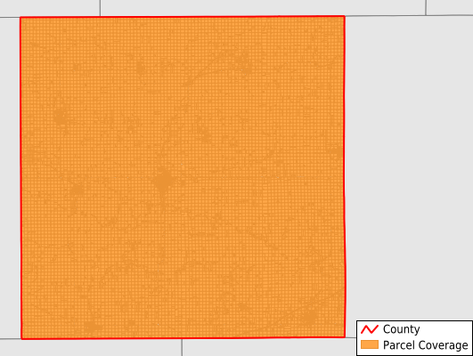
Keokuk County
Parcel Data
Price: $250.00
Last Updated:
2025-Q3
Parcels in County:
17,809
Parcel data available to download as a GDB, GeoPackage, Shapefile, Excel, CSV, or Google Earth KML file.
All purchased data comes with six months of access, including any updates, at no additional cost.
Key attribute coverage for Keokuk County
The percentage of Keokuk County parcels containing the following key attributes:
Owner: 99.9%
Parcel Number: 100%
Acreage (Calculated): 100%
Site Address: 33.9%
Mailing Address: 98.8%
All available attributes in Keokuk County
Parcel Number
Site Address
Owner
Acreage (deeded)
Acreage (calculated)
Perimeter
Municipality
School District
Zip Code
Flood Zone
Flood Zone Subtype
Census Tract
Census Block Group
Census Block
Mail Name
Mail Address1
Mail Address3
Legal Desc1
Addr Sec Unit Num
Place Gnis Code
Land Cover
Elevation
Owner Occupied
Robust Id
Usps Residential
Alt Id 2
Plss Description
Plss Township
Plss Range
Plss Section
Crop Cover
Acreage Adjacent With Sameowner
Flood Zones
Nearest Transmission Line Dist Ft
Nearest Substation Dist Ft
Derived Geom Properties
Municipalities Respresented in Keokuk County
Adams Township: 907
Benton Township: 1,365
Clear Creek Township: 817
East Lancaster Township: 411
English River Township: 1,110
Jackson Township: 979
Lafayette Township: 1,496
Liberty Township: 888
Plank Township: 1,307
Prairie Township: 888
Richland Township: 1,323
Sigourney Township: 1,703
Steady Run Township: 850
Van Buren Township: 835
Warren Township: 879
Washington Township: 1,401
West Lancaster Township: 650
Save money when you buy data in bulk
We offer discounted pricing on county and state downloads.