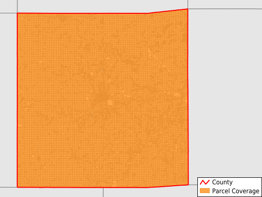
Madison County
Parcel Data
Price: $250.00
Last Updated:
2025-Q3
Parcels in County:
18,009
Parcel data available to download as a GDB, GeoPackage, Shapefile, Excel, CSV, or Google Earth KML file.
All purchased data comes with six months of access, including any updates, at no additional cost.
Key attribute coverage for Madison County
The percentage of Madison County parcels containing the following key attributes:
Owner: 99.9%
Parcel Number: 99.9%
Acreage (Calculated): 100%
Site Address: 41.6%
Mailing Address: 99.6%
All available attributes in Madison County
Parcel Number
Site Address
Owner
Land Use Code
Land Use Class
Acreage (deeded)
Acreage (calculated)
Perimeter
Municipality
School District
Zip Code
Flood Zone
Flood Zone Subtype
Census Tract
Census Block Group
Census Block
Mail Name
Mail Address1
Mail Address2
Mail Address3
Legal Desc1
Place Gnis Code
Land Cover
Elevation
Owner Occupied
Robust Id
Usps Residential
Plss Description
Plss Township
Plss Range
Plss Section
Crop Cover
Acreage Adjacent With Sameowner
Flood Zones
Nearest Transmission Line Dist Ft
Nearest Substation Dist Ft
Derived Geom Properties
Municipalities Respresented in Madison County
Crawford Township: 1,032
Douglas Township: 906
Grand River Township: 815
Jackson Township: 734
Jefferson Township: 887
Lee Township: 1,091
Lincoln Township: 917
Madison Township: 1,421
Monroe Township: 767
Ohio Township: 1,051
Penn Township: 858
Scott Township: 983
South Township: 1,402
Union Township: 962
Walnut Township: 955
Webster Township: 731
Winterset City: 2,497
Save money when you buy data in bulk
We offer discounted pricing on county and state downloads.