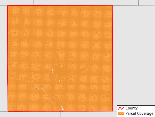
Mahaska County
Parcel Data
Price: $250.00
Last Updated:
2025-Q3
Parcels in County:
22,910
Parcel data available to download as a GDB, GeoPackage, Shapefile, Excel, CSV, or Google Earth KML file.
All purchased data comes with six months of access, including any updates, at no additional cost.
Key attribute coverage for Mahaska County
The percentage of Mahaska County parcels containing the following key attributes:
Owner: 99.4%
Parcel Number: 99.4%
Acreage (Calculated): 100%
Site Address: 45.6%
Mailing Address: 99.2%
All available attributes in Mahaska County
Parcel Number
Site Address
Owner
Land Use Code
Land Use Class
Zoning
Acreage (deeded)
Acreage (calculated)
Perimeter
Municipality
School District
Zip Code
Flood Zone
Flood Zone Subtype
Census Tract
Census Block Group
Census Block
Coowner
Mail Name
Mail Address1
Mail Address2
Mail Address3
Legal Desc1
Addr Sec Unit Num
Place Gnis Code
Land Cover
Elevation
Owner Occupied
Robust Id
Usps Residential
Plss Description
Plss Township
Plss Range
Plss Section
Crop Cover
Acreage Adjacent With Sameowner
Flood Zones
Nearest Transmission Line Dist Ft
Nearest Substation Dist Ft
Derived Geom Properties
Municipalities Respresented in Mahaska County
Adams Township: 787
Black Oak Township: 1,005
Cedar Township: 1,282
East Des Moines Township: 568
Garfield Township: 1,295
Harrison Township: 990
Jefferson Township: 939
Lincoln Township: 309
Madison Township: 890
Monroe Township: 837
Oskaloosa City: 5,579
Pleasant Grove Township: 931
Prairie Township: 1,654
Richland Township: 1,075
Scott Township: 896
Spring Creek Township: 1,524
Union Township: 845
West Des Moines Township: 457
White Oak Township: 1,044
Save money when you buy data in bulk
We offer discounted pricing on county and state downloads.