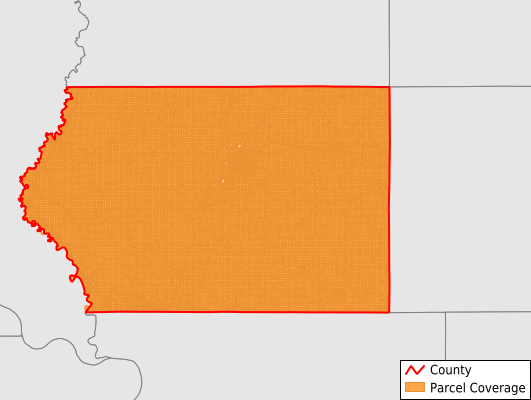
Plymouth County
Parcel Data
Price: $250.00
Last Updated:
2025-Q3
Parcels in County:
29,178
Parcel data available to download as a GDB, GeoPackage, Shapefile, Excel, CSV, or Google Earth KML file.
All purchased data comes with six months of access, including any updates, at no additional cost.
Key attribute coverage for Plymouth County
The percentage of Plymouth County parcels containing the following key attributes:
Owner: 99.9%
Parcel Number: 99.9%
Acreage (Calculated): 100%
Site Address: 39.6%
Mailing Address: 98.5%
All available attributes in Plymouth County
Parcel Number
Site Address
Owner
Land Use Code
Land Use Class
Acreage (deeded)
Acreage (calculated)
Perimeter
Municipality
School District
Zip Code
Flood Zone
Flood Zone Subtype
Census Tract
Census Block Group
Census Block
Mail Name
Mail Address1
Mail Address2
Mail Address3
Legal Desc1
Addr Sec Unit Num
Place Gnis Code
Land Cover
Elevation
Owner Occupied
Robust Id
Usps Residential
Alt Id 1
Plss Description
Plss Township
Plss Range
Plss Section
Crop Cover
Acreage Adjacent With Sameowner
Flood Zones
Nearest Transmission Line Dist Ft
Nearest Substation Dist Ft
Derived Geom Properties
Municipalities Respresented in Plymouth County
America Township: 5,609
Elgin Township: 1,026
Elkhorn Township: 803
Fredonia Township: 785
Garfield Township: 1,594
Grant Township: 889
Hancock Township: 550
Henry Township: 772
Hungerford Township: 1,618
Johnson Township: 786
Liberty Township: 808
Lincoln Township: 790
Marion Township: 1,094
Meadow Township: 852
Perry Township: 1,153
Plymouth Township: 1,285
Portland Township: 1,684
Preston Township: 814
Remsen Township: 1,672
Sioux Township: 973
Sioux City City: 5
Stanton Township: 829
Union Township: 779
Washington Township: 996
Westfield Township: 1,010
Save money when you buy data in bulk
We offer discounted pricing on county and state downloads.