Last Updated:
2025-Q3
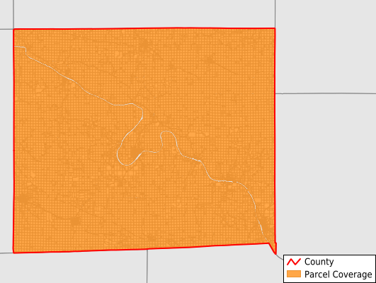
Parcels in County:
14,882
Parcel data available to download as a GDB, GeoPackage, Shapefile, Excel, CSV, or Google Earth KML file.
All purchased data comes with six months of access, including any updates, at no additional cost.
Key attribute coverage for Van Buren County
The percentage of Van Buren County parcels containing the following key attributes:
Owner: 94.8%
Parcel Number: 100%
Acreage (Calculated): 100%
Site Address: 92.5%
Mailing Address: 94.8%
All available attributes in Van Buren County
Parcel Number
Site Address
Owner
Land Use Code
Land Use Class
Acreage (deeded)
Acreage (calculated)
Perimeter
Municipality
School District
Zip Code
Flood Zone
Flood Zone Subtype
Census Tract
Census Block Group
Census Block
Land Market Value
Building Market Value
Mail Name
Mail Address1
Mail Address2
Mail Address3
Legal Desc1
Legal Desc2
Legal Desc3
Place Gnis Code
Land Cover
Elevation
Owner Occupied
Robust Id
Usps Residential
Plss Description
Plss Township
Plss Range
Plss Section
Crop Cover
Acreage Adjacent With Sameowner
Flood Zones
Nearest Transmission Line Dist Ft
Nearest Substation Dist Ft
Derived Geom Properties
Municipalities Respresented in Van Buren County
Bonaparte Township: 977
Cedar Township: 938
Chequest Township: 808
Des Moines Township: 1,111
Farmington Township: 1,182
Harrisburg Township: 765
Henry Township: 475
Jackson Township: 1,770
Lick Creek Township: 1,050
Union Township: 1,138
Van Buren Township: 2,020
Vernon Township: 789
Village Township: 1,228
Washington Township: 631
Save money when you buy data in bulk
We offer discounted pricing on county and state downloads.