Last Updated:
2026-Q1
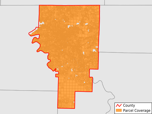
Parcels in County:
38,004
Parcel data available to download as a GDB, GeoPackage, Shapefile, Excel, CSV, or Google Earth KML file.
All purchased data comes with six months of access, including any updates, at no additional cost.
Key attribute coverage for Baxter County
The percentage of Baxter County parcels containing the following key attributes:
Owner: 100%
Parcel Number: 100%
Acreage (Calculated): 100%
Site Address: 93.8%
Mailing Address: 98.7%
All available attributes in Baxter County
Parcel Number
Site Address
Owner
Building Size
Neighborhood Code
Land Use Code
Land Use Class
Acreage (calculated)
Perimeter
Municipality
School District
Zip Code
Flood Zone
Flood Zone Subtype
Census Tract
Census Block Group
Census Block
Total Market Value
Land Market Value
Building Market Value
Mail Name
Mail Address1
Mail Address3
Legal Desc1
Year Built
Addr Sec Unit Num
Place Gnis Code
Land Cover
Elevation
Owner Occupied
Robust Id
Usps Residential
Plss Description
Plss Township
Plss Range
Plss Section
Crop Cover
Acreage Adjacent With Sameowner
Flood Zones
Nearest Transmission Line Dist Ft
Nearest Substation Dist Ft
Derived Geom Properties
Robust Id Source
Municipalities Respresented in Baxter County
Bayou Township: 524
Big Flat Township: 365
Buckhorn Township: 1,702
Buford Township: 1,375
Greenwood Township: 407
Grover Township: 2,106
Independence Township: 1,214
Logan Township: 1,352
Lone Rock Township: 683
Matney Township: 229
Mill Township: 5,285
Mountain Home Township: 11,615
North Fork Township: 1,690
Pigeon Township: 1,716
Union Township: 4,412
Whiteville Township: 3,327
Save money when you buy data in bulk
We offer discounted pricing on county and state downloads.