Last Updated:
2026-Q1
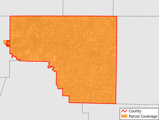
Parcels in County:
25,638
Parcel data available to download as a GDB, GeoPackage, Shapefile, Excel, CSV, or Google Earth KML file.
All purchased data comes with six months of access, including any updates, at no additional cost.
Key attribute coverage for Carroll County
The percentage of Carroll County parcels containing the following key attributes:
Owner: 100%
Parcel Number: 100%
Acreage (Calculated): 100%
Site Address: 86%
Mailing Address: 98.1%
All available attributes in Carroll County
Parcel Number
Site Address
Owner
Building Size
Land Use Code
Land Use Class
Acreage (calculated)
Perimeter
Municipality
School District
Zip Code
Flood Zone
Flood Zone Subtype
Census Tract
Census Block Group
Census Block
Total Market Value
Land Market Value
Building Market Value
Coowner
Mail Address1
Mail Address3
Legal Desc1
Year Built
Total Rooms
Bedrooms
Total Bath
Addr Sec Unit Num
Place Gnis Code
Land Cover
Elevation
Owner Occupied
Robust Id
Usps Residential
Plss Description
Plss Township
Plss Range
Plss Section
Crop Cover
Acreage Adjacent With Sameowner
Flood Zones
Nearest Transmission Line Dist Ft
Nearest Substation Dist Ft
Derived Geom Properties
Robust Id Source
Municipalities Respresented in Carroll County
Beaver Township: 3,430
Cabanal Township: 337
Carrollton Township: 615
Cedar Township: 4,440
Coin Township: 455
Cross Township: 332
Dry Fork Township: 289
Franklin Township: 2,864
Hickory Township: 2,651
Kings River Township: 466
Liberty Township: 181
Long Creek Township: 833
North Yocum Township: 305
Omega Township: 426
Osage Township: 515
Packard Springs Township: 1,383
Piney Township: 225
Polo Township: 916
Prairie Township: 4,003
South Yocum Township: 423
Winona Township: 545
Save money when you buy data in bulk
We offer discounted pricing on county and state downloads.