Last Updated:
2026-Q1
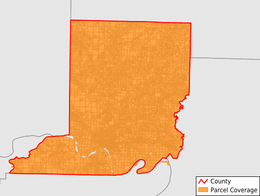
Parcels in County:
19,442
Parcel data available to download as a GDB, GeoPackage, Shapefile, Excel, CSV, or Google Earth KML file.
All purchased data comes with six months of access, including any updates, at no additional cost.
Key attribute coverage for Conway County
The percentage of Conway County parcels containing the following key attributes:
Owner: 100%
Parcel Number: 100%
Acreage (Calculated): 100%
Site Address: 88.9%
Mailing Address: 97.1%
All available attributes in Conway County
Parcel Number
Site Address
Owner
Building Size
Land Use Code
Land Use Class
Acreage (deeded)
Acreage (calculated)
Perimeter
Municipality
School District
Zip Code
Flood Zone
Flood Zone Subtype
Census Tract
Census Block Group
Census Block
Total Market Value
Land Market Value
Building Market Value
Coowner
Mail Name
Mail Address1
Mail Address3
Legal Desc1
Year Built
Bedrooms
Total Bath
Addr Sec Unit Num
Place Gnis Code
Land Cover
Elevation
Owner Occupied
Robust Id
Usps Residential
Plss Description
Plss Township
Plss Range
Plss Section
Crop Cover
Acreage Adjacent With Sameowner
Flood Zones
Nearest Transmission Line Dist Ft
Nearest Substation Dist Ft
Derived Geom Properties
Robust Id Source
Municipalities Respresented in Conway County
Austin Township: 361
Bentley Township: 975
Bird Township: 744
Catholic Point Township: 534
Cedar Falls Township: 507
Gregory Township: 391
Griffin Township: 744
Higgins Township: 126
Howard Township: 2,143
Lick Mountain Township: 862
Mclaren Township: 326
Martin Township: 225
Nichols Township: 893
Old Hickory Township: 253
Petit Jean Township: 130
St. Vincent Township: 562
Steele Township: 486
Union Township: 929
Washington Township: 1,437
Welborn Township: 6,699
White Eagle Township: 106
Save money when you buy data in bulk
We offer discounted pricing on county and state downloads.