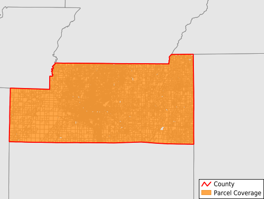
Craighead County
Parcel Data
Last Updated:
2025-Q4
Parcels in County:
54,479
Parcel data available to download as a GDB, GeoPackage, Shapefile, Excel, CSV, or Google Earth KML file.
All purchased data comes with six months of access, including any updates, at no additional cost.
Key attribute coverage for Craighead County
The percentage of Craighead County parcels containing the following key attributes:
Owner: 100%
Parcel Number: 100%
Acreage (Calculated): 100%
Site Address: 86.9%
Mailing Address: 99.7%
All available attributes in Craighead County
Parcel Number
Site Address
Owner
Transfer Date
Sale Price
Building Size
Neighborhood Code
Land Use Code
Land Use Class
Acreage (deeded)
Acreage (calculated)
Perimeter
Municipality
School District
Zip Code
Flood Zone
Flood Zone Subtype
Census Tract
Census Block Group
Census Block
Total Market Value
Land Market Value
Building Market Value
Coowner
Mail Name
Mail Address1
Mail Address3
Legal Desc1
Year Built
Total Bath
Addr Sec Unit Num
Place Gnis Code
Land Cover
Elevation
Owner Occupied
Robust Id
Usps Residential
Plss Description
Plss Township
Plss Section
Crop Cover
Acreage Adjacent With Sameowner
Flood Zones
Nearest Transmission Line Dist Ft
Nearest Substation Dist Ft
Derived Geom Properties
Municipalities Respresented in Craighead County
Big Creek Township: 2,937
Black Oak Township: 1,947
Brookland Township: 2,843
Buffalo Township: 1,954
Gilkerson Township: 4,570
Greenfield Township: 1,904
Herndon Township: 866
Jonesboro Township: 25,294
Lake City Township: 1,641
Lester Township: 488
Little Texas Township: 340
Maumelle Township: 1,396
Nettleton Township: 5,248
Powell Township: 2,062
Prairie Township: 106
Promised Land Township: 296
Taylor Township: 227
Texas Township: 360
Save money when you buy data in bulk
We offer discounted pricing on county and state downloads.