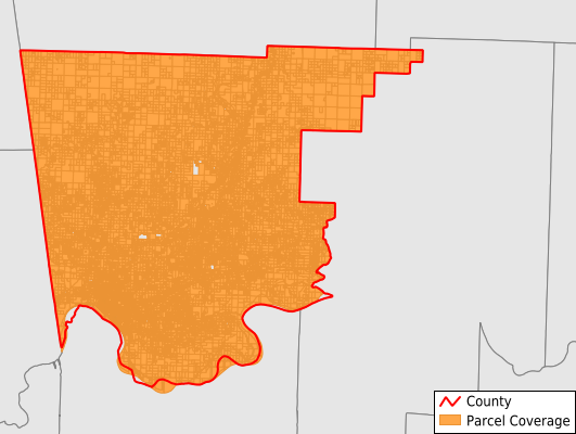
Crawford County
Parcel Data
Last Updated:
2026-Q1
Parcels in County:
37,465
Parcel data available to download as a GDB, GeoPackage, Shapefile, Excel, CSV, or Google Earth KML file.
All purchased data comes with six months of access, including any updates, at no additional cost.
Key attribute coverage for Crawford County
The percentage of Crawford County parcels containing the following key attributes:
Owner: 100%
Parcel Number: 100%
Acreage (Calculated): 100%
Site Address: 84.9%
Mailing Address: 99.6%
All available attributes in Crawford County
Parcel Number
Site Address
Owner
Building Size
Neighborhood Code
Land Use Code
Land Use Class
Acreage (calculated)
Perimeter
Municipality
School District
Zip Code
Flood Zone
Flood Zone Subtype
Census Tract
Census Block Group
Census Block
Total Market Value
Land Market Value
Building Market Value
Mail Name
Mail Address1
Mail Address3
Legal Desc1
Year Built
Total Rooms
Bedrooms
Total Bath
Addr Sec Unit Num
Place Gnis Code
Land Cover
Elevation
Owner Occupied
Robust Id
Usps Residential
Plss Description
Plss Township
Plss Range
Plss Section
Crop Cover
Acreage Adjacent With Sameowner
Flood Zones
Nearest Transmission Line Dist Ft
Nearest Substation Dist Ft
Derived Geom Properties
Robust Id Source
Municipalities Respresented in Crawford County
Alma Township: 3,669
Cedar Creek Township: 614
Cedarville Township: 1,313
Chester Township: 960
Cove City Township: 380
Dora Township: 796
Dyer Township: 1,324
Jasper Township: 1,700
Lancaster Township: 765
Lees Creek Township: 826
Oliver Springs Township: 1,100
Porter Township: 439
Rudy Township: 963
Upper Township: 263
Van Buren Township: 14,162
Vine Prairie Township: 528
Whitley Township: 893
Winfrey Township: 155
Bidville Township: 182
Dean Springs Township: 1,436
Kibler Township: 1,062
Locke Township: 321
Mountainburg Township: 1,520
Mulberry Township: 1,344
Uniontown Township: 743
Save money when you buy data in bulk
We offer discounted pricing on county and state downloads.