Last Updated:
2026-Q1
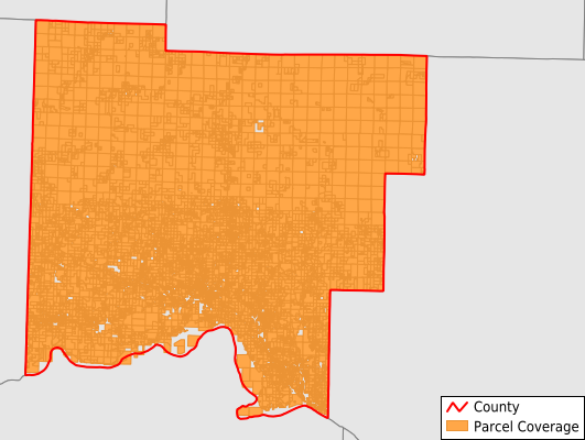
Parcels in County:
17,981
Parcel data available to download as a GDB, GeoPackage, Shapefile, Excel, CSV, or Google Earth KML file.
All purchased data comes with six months of access, including any updates, at no additional cost.
Key attribute coverage for Johnson County
The percentage of Johnson County parcels containing the following key attributes:
Owner: 100%
Parcel Number: 100%
Acreage (Calculated): 100%
Site Address: 72.9%
Mailing Address: 96.4%
All available attributes in Johnson County
Parcel Number
Site Address
Owner
Building Size
Neighborhood Code
Land Use Code
Land Use Class
Acreage (calculated)
Perimeter
Municipality
School District
Zip Code
Flood Zone
Flood Zone Subtype
Census Tract
Census Block Group
Census Block
Total Market Value
Land Market Value
Building Market Value
Mail Name
Mail Address1
Mail Address3
Legal Desc1
Year Built
Total Bath
Addr Sec Unit Num
Place Gnis Code
Land Cover
Elevation
Owner Occupied
Robust Id
Usps Residential
Plss Description
Plss Township
Plss Range
Plss Section
Crop Cover
Acreage Adjacent With Sameowner
Flood Zones
Nearest Transmission Line Dist Ft
Nearest Substation Dist Ft
Derived Geom Properties
Robust Id Source
Municipalities Respresented in Johnson County
Batson Township: 302
Grant Township: 903
Hickey Township: 456
Horsehead Township: 696
Howell Township: 1,068
King Township: 899
Lee Township: 252
Low Gap Township: 216
Mckennon Township: 863
Mulberry Township: 260
Perry Township: 1,173
Pittsburg Township: 1,532
Prairie Township: 683
Red Lick Township: 1,059
Sherman Township: 552
Spadra Township: 5,618
Stonewall Township: 400
Ward Township: 657
Dickerson-Hill Township: 391
Save money when you buy data in bulk
We offer discounted pricing on county and state downloads.