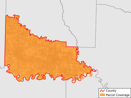
Little River County
Parcel Data
Last Updated:
2026-Q1
Parcels in County:
14,535
Parcel data available to download as a GDB, GeoPackage, Shapefile, Excel, CSV, or Google Earth KML file.
All purchased data comes with six months of access, including any updates, at no additional cost.
Key attribute coverage for Little River County
The percentage of Little River County parcels containing the following key attributes:
Owner: 100%
Parcel Number: 100%
Acreage (Calculated): 100%
Site Address: 79.6%
Mailing Address: 99.5%
All available attributes in Little River County
Parcel Number
Site Address
Owner
Building Size
Land Use Code
Land Use Class
Acreage (calculated)
Perimeter
Municipality
School District
Zip Code
Census Tract
Census Block Group
Census Block
Total Market Value
Land Market Value
Building Market Value
Mail Name
Mail Address1
Mail Address3
Legal Desc1
Year Built
Bedrooms
Total Bath
Addr Sec Unit Num
Place Gnis Code
Land Cover
Elevation
Owner Occupied
Robust Id
Usps Residential
Plss Description
Plss Township
Plss Range
Plss Section
Crop Cover
Acreage Adjacent With Sameowner
Flood Zones
Nearest Transmission Line Dist Ft
Nearest Substation Dist Ft
Derived Geom Properties
Robust Id Source
Municipalities Respresented in Little River County
Arden Township: 466
Arkinda Township: 165
Burke Township: 493
Caney Township: 343
Cleveland Township: 1,099
Jackson Township: 1,749
Jeff Davis Township: 289
Jewell Township: 272
Johnson Township: 1,045
Lick Creek Township: 501
Little River Township: 532
Red River Township: 865
Richland Township: 215
Wallace Township: 461
Franklin Township: 1,643
Jefferson Township: 4,384
Save money when you buy data in bulk
We offer discounted pricing on county and state downloads.