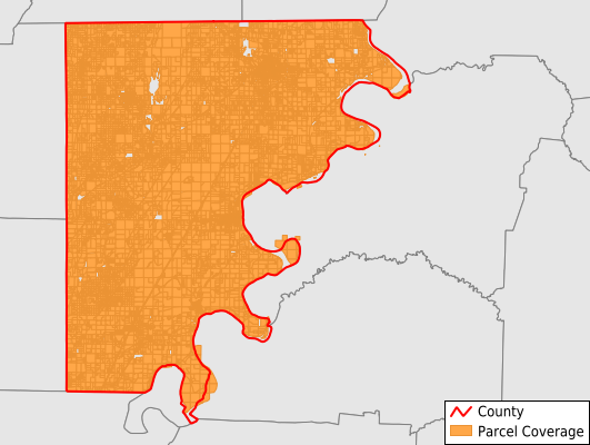
Mississippi County
Parcel Data
Last Updated:
2026-Q1
Parcels in County:
30,968
Parcel data available to download as a GDB, GeoPackage, Shapefile, Excel, CSV, or Google Earth KML file.
All purchased data comes with six months of access, including any updates, at no additional cost.
Key attribute coverage for Mississippi County
The percentage of Mississippi County parcels containing the following key attributes:
Owner: 100%
Parcel Number: 100%
Acreage (Calculated): 100%
Site Address: 98.7%
Mailing Address: 99.7%
All available attributes in Mississippi County
Parcel Number
Site Address
Owner
Building Size
Neighborhood Code
Land Use Code
Land Use Class
Acreage (calculated)
Perimeter
Municipality
School District
Zip Code
Flood Zone
Flood Zone Subtype
Census Tract
Census Block Group
Census Block
Total Market Value
Land Market Value
Building Market Value
Mail Name
Mail Address1
Mail Address3
Legal Desc1
Year Built
Total Bath
Addr Sec Unit Num
Place Gnis Code
Land Cover
Elevation
Owner Occupied
Robust Id
Usps Residential
Plss Description
Plss Township
Plss Range
Plss Section
Crop Cover
Acreage Adjacent With Sameowner
Flood Zones
Nearest Transmission Line Dist Ft
Nearest Substation Dist Ft
Derived Geom Properties
Robust Id Source
Municipalities Respresented in Mississippi County
Big Lake Township: 3,368
Bowen Township: 1,779
Burdette Township: 294
Canadian Township: 715
Chickasawba Township: 10,775
Dyess Township: 920
Fletcher Township: 1,139
Golden Lake Township: 759
Half Moon Lake Township: 493
Hector Township: 836
Little River Township: 1,307
Mcgavock Township: 589
Monroe Township: 4,408
Neal Township: 2,003
Scott Township: 649
Whitton Township: 400
Carson Township: 527
Save money when you buy data in bulk
We offer discounted pricing on county and state downloads.