Last Updated:
2026-Q1
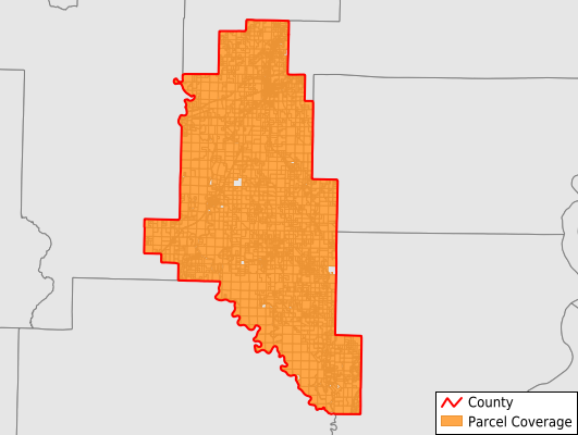
Parcels in County:
8,864
Parcel data available to download as a GDB, GeoPackage, Shapefile, Excel, CSV, or Google Earth KML file.
All purchased data comes with six months of access, including any updates, at no additional cost.
Key attribute coverage for Monroe County
The percentage of Monroe County parcels containing the following key attributes:
Owner: 99.3%
Parcel Number: 100%
Acreage (Calculated): 100%
Site Address: 59.7%
Mailing Address: 98.2%
All available attributes in Monroe County
Parcel Number
Site Address
Owner
Building Size
Neighborhood Code
Land Use Code
Land Use Class
Acreage (calculated)
Perimeter
Municipality
School District
Zip Code
Census Tract
Census Block Group
Census Block
Total Market Value
Land Market Value
Building Market Value
Mail Name
Mail Address1
Mail Address3
Legal Desc1
Year Built
Total Bath
Addr Sec Unit Num
Place Gnis Code
Land Cover
Elevation
Owner Occupied
Robust Id
Usps Residential
Plss Description
Plss Township
Plss Range
Plss Section
Crop Cover
Acreage Adjacent With Sameowner
Nearest Transmission Line Dist Ft
Nearest Substation Dist Ft
Derived Geom Properties
Robust Id Source
Municipalities Respresented in Monroe County
Brinkley Township: 2,575
Brown Township: 105
Cache Township: 1,438
Cleburne Township: 366
Cypress Ridge Township: 403
Duncan Township: 969
Hindman Township: 195
Jackson Township: 484
Keevil Township: 296
Pine Ridge Township: 158
Raymond Township: 129
Richland Township: 305
Roc Roe Township: 392
Dixon Township: 280
Greenfield Township: 347
Montgomery-Smalley Township: 421
Save money when you buy data in bulk
We offer discounted pricing on county and state downloads.