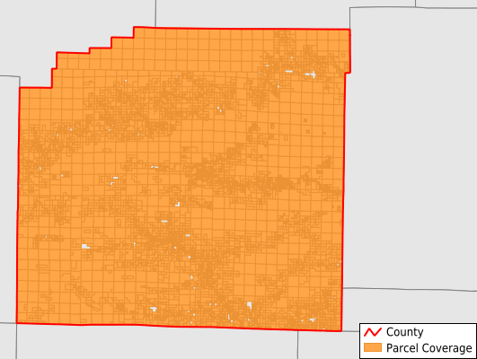
Montgomery County
Parcel Data
Last Updated:
2026-Q1
Parcels in County:
11,161
Parcel data available to download as a GDB, GeoPackage, Shapefile, Excel, CSV, or Google Earth KML file.
All purchased data comes with six months of access, including any updates, at no additional cost.
Key attribute coverage for Montgomery County
The percentage of Montgomery County parcels containing the following key attributes:
Owner: 100%
Parcel Number: 100%
Acreage (Calculated): 100%
Site Address: 81.4%
Mailing Address: 82.4%
All available attributes in Montgomery County
Parcel Number
Site Address
Owner
Building Size
Land Use Code
Land Use Class
Acreage (calculated)
Perimeter
Municipality
School District
Zip Code
Census Tract
Census Block Group
Census Block
Total Market Value
Land Market Value
Building Market Value
Mail Name
Mail Address1
Mail Address3
Legal Desc1
Year Built
Total Bath
Addr Sec Unit Num
Place Gnis Code
Land Cover
Elevation
Owner Occupied
Robust Id
Usps Residential
Plss Description
Plss Township
Plss Range
Plss Section
Crop Cover
Acreage Adjacent With Sameowner
Nearest Transmission Line Dist Ft
Nearest Substation Dist Ft
Derived Geom Properties
Robust Id Source
Municipalities Respresented in Montgomery County
Caney Township: 885
Center Township: 1,406
Washita Township: 575
Pencil Bluff Township: 400
Black Springs Township: 1,010
Caddo Gap Township: 1,079
Fannie Township: 442
Hopper Township: 492
Mount Ida Township: 2,036
Norman Township: 1,009
Oden Township: 1,041
Sims Township: 481
Alamo Township: 305
Save money when you buy data in bulk
We offer discounted pricing on county and state downloads.