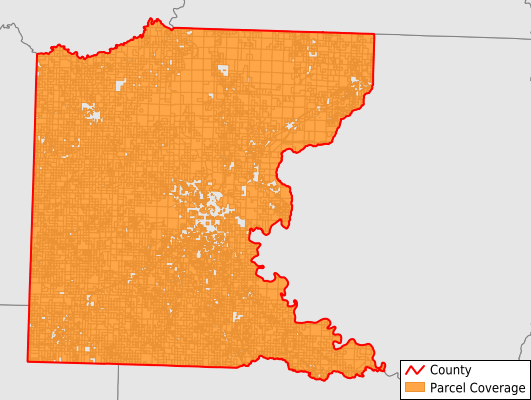
Ouachita County
Parcel Data
Last Updated:
2026-Q1
Parcels in County:
16,688
Parcel data available to download as a GDB, GeoPackage, Shapefile, Excel, CSV, or Google Earth KML file.
All purchased data comes with six months of access, including any updates, at no additional cost.
Key attribute coverage for Ouachita County
The percentage of Ouachita County parcels containing the following key attributes:
Owner: 100%
Parcel Number: 100%
Acreage (Calculated): 100%
Site Address: 60.5%
Mailing Address: 99.1%
All available attributes in Ouachita County
Parcel Number
Site Address
Owner
Building Size
Neighborhood Code
Land Use Code
Land Use Class
Acreage (calculated)
Perimeter
Municipality
School District
Zip Code
Flood Zone
Flood Zone Subtype
Census Tract
Census Block Group
Census Block
Total Market Value
Land Market Value
Building Market Value
Mail Name
Mail Address1
Mail Address3
Legal Desc1
Year Built
Total Rooms
Bedrooms
Total Bath
Addr Sec Unit Num
Place Gnis Code
Land Cover
Elevation
Owner Occupied
Robust Id
Usps Residential
Plss Description
Plss Township
Plss Range
Plss Section
Crop Cover
Acreage Adjacent With Sameowner
Flood Zones
Nearest Transmission Line Dist Ft
Nearest Substation Dist Ft
Derived Geom Properties
Robust Id Source
Municipalities Respresented in Ouachita County
Behestian Township: 607
Bradley Township: 633
Bragg Township: 421
Bridge Creek Township: 783
Carroll Township: 530
Cleveland Township: 215
Ecore Fabre Township: 2,748
Freeo Township: 436
Jefferson Township: 605
Lafayette Township: 2,955
Liberty Township: 446
Marion Township: 955
Red Hill Township: 1,191
River Township: 248
Smackover Township: 1,304
Union Township: 890
Valley Township: 607
Washington Township: 1,113
Save money when you buy data in bulk
We offer discounted pricing on county and state downloads.