Last Updated:
2026-Q1
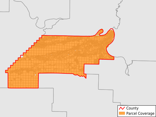
Parcels in County:
10,204
Parcel data available to download as a GDB, GeoPackage, Shapefile, Excel, CSV, or Google Earth KML file.
All purchased data comes with six months of access, including any updates, at no additional cost.
Key attribute coverage for Perry County
The percentage of Perry County parcels containing the following key attributes:
Owner: 100%
Parcel Number: 100%
Acreage (Calculated): 100%
Site Address: 96.6%
Mailing Address: 95%
All available attributes in Perry County
Parcel Number
Site Address
Owner
Building Size
Land Use Code
Land Use Class
Acreage (calculated)
Perimeter
Municipality
School District
Zip Code
Census Tract
Census Block Group
Census Block
Total Market Value
Land Market Value
Building Market Value
Mail Name
Mail Address1
Mail Address3
Legal Desc1
Year Built
Total Bath
Place Gnis Code
Land Cover
Elevation
Owner Occupied
Robust Id
Usps Residential
Plss Description
Plss Township
Plss Range
Plss Section
Crop Cover
Acreage Adjacent With Sameowner
Nearest Transmission Line Dist Ft
Nearest Substation Dist Ft
Derived Geom Properties
Robust Id Source
Municipalities Respresented in Perry County
Aplin Township: 363
Casa Township: 547
Cherry Hill Township: 247
Fourche Lafave Township: 1,122
Houston Township: 863
Kenney Township: 172
Lake Township: 573
Maumelle Township: 570
New Tennessee Township: 450
Perry Township: 823
Petit Jean Township: 356
Rankin Township: 1,286
Rose Creek Township: 266
Tyler Township: 664
Union Township: 827
Union Valley Township: 308
Wye Township: 762
Save money when you buy data in bulk
We offer discounted pricing on county and state downloads.