Last Updated:
2026-Q1
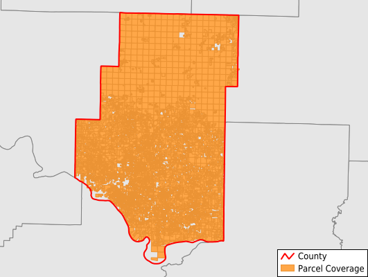
Parcels in County:
32,304
Parcel data available to download as a GDB, GeoPackage, Shapefile, Excel, CSV, or Google Earth KML file.
All purchased data comes with six months of access, including any updates, at no additional cost.
Key attribute coverage for Pope County
The percentage of Pope County parcels containing the following key attributes:
Owner: 99.9%
Parcel Number: 100%
Acreage (Calculated): 100%
Site Address: 77.8%
Mailing Address: 97.5%
All available attributes in Pope County
Parcel Number
Site Address
Owner
Building Size
Neighborhood Code
Land Use Code
Land Use Class
Acreage (calculated)
Perimeter
Municipality
School District
Zip Code
Flood Zone
Flood Zone Subtype
Census Tract
Census Block Group
Census Block
Total Market Value
Land Market Value
Building Market Value
Mail Address1
Mail Address3
Legal Desc1
Year Built
Total Bath
Buildings
Addr Sec Unit Num
Place Gnis Code
Land Cover
Elevation
Owner Occupied
Robust Id
Usps Residential
Plss Description
Plss Township
Plss Range
Plss Section
Crop Cover
Acreage Adjacent With Sameowner
Flood Zones
Nearest Transmission Line Dist Ft
Nearest Substation Dist Ft
Derived Geom Properties
Robust Id Source
Municipalities Respresented in Pope County
Bayliss Township: 641
Burnett Township: 426
Center Township: 347
Clark Township: 2,213
Convenience Township: 563
Dover Township: 3,255
Freeman Township: 363
Galla Township: 2,401
Griffin Township: 629
Gum Log Township: 1,079
Illinois Township: 12,196
Jackson Township: 951
Liberty Township: 696
Martin Township: 1,132
Moreland Township: 392
Phoenix Township: 222
Smyrna Township: 336
Valley Township: 1,628
Wilson Township: 2,833
Save money when you buy data in bulk
We offer discounted pricing on county and state downloads.