Last Updated:
2026-Q1
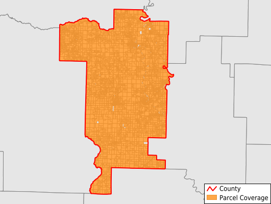
Parcels in County:
10,033
Parcel data available to download as a GDB, GeoPackage, Shapefile, Excel, CSV, or Google Earth KML file.
All purchased data comes with six months of access, including any updates, at no additional cost.
Key attribute coverage for Prairie County
The percentage of Prairie County parcels containing the following key attributes:
Owner: 100%
Parcel Number: 100%
Acreage (Calculated): 100%
Site Address: 68.6%
Mailing Address: 99.5%
All available attributes in Prairie County
Parcel Number
Site Address
Owner
Building Size
Land Use Code
Land Use Class
Acreage (calculated)
Perimeter
Municipality
School District
Zip Code
Census Tract
Census Block Group
Census Block
Total Market Value
Land Market Value
Building Market Value
Mail Name
Mail Address1
Mail Address3
Legal Desc1
Year Built
Total Bath
Addr Sec Unit Num
Place Gnis Code
Land Cover
Elevation
Owner Occupied
Robust Id
Usps Residential
Plss Description
Plss Township
Plss Range
Plss Section
Crop Cover
Acreage Adjacent With Sameowner
Nearest Transmission Line Dist Ft
Nearest Substation Dist Ft
Derived Geom Properties
Robust Id Source
Municipalities Respresented in Prairie County
Belcher Township: 210
Bullard Township: 268
Calhoun Township: 551
Center Township: 481
Des Arc Township: 420
Hazen Township: 1,703
Hickory Plain Township: 765
Lower Surrounded Hill Township: 819
Roc Roe Township: 688
Tyler Township: 456
Union Township: 157
Upper Surrounded Hill Township: 200
White River Township: 1,816
Watensaw Township: 1,496
Save money when you buy data in bulk
We offer discounted pricing on county and state downloads.