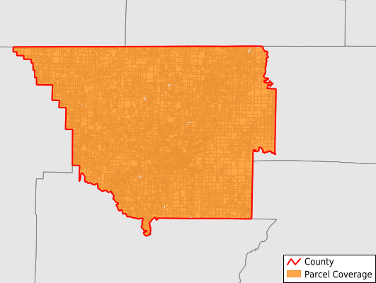
Randolph County
Parcel Data
Last Updated:
2026-Q1
Parcels in County:
18,058
Parcel data available to download as a GDB, GeoPackage, Shapefile, Excel, CSV, or Google Earth KML file.
All purchased data comes with six months of access, including any updates, at no additional cost.
Key attribute coverage for Randolph County
The percentage of Randolph County parcels containing the following key attributes:
Owner: 99.9%
Parcel Number: 100%
Acreage (Calculated): 100%
Site Address: 82.2%
Mailing Address: 99.2%
All available attributes in Randolph County
Parcel Number
Site Address
Owner
Building Size
Land Use Code
Land Use Class
Acreage (calculated)
Perimeter
Municipality
School District
Zip Code
Flood Zone
Flood Zone Subtype
Census Tract
Census Block Group
Census Block
Total Market Value
Land Market Value
Building Market Value
Mail Name
Mail Address1
Mail Address3
Legal Desc1
Year Built
Bedrooms
Total Bath
Addr Sec Unit Num
Place Gnis Code
Land Cover
Elevation
Owner Occupied
Robust Id
Usps Residential
Plss Description
Plss Township
Plss Range
Plss Section
Crop Cover
Acreage Adjacent With Sameowner
Flood Zones
Nearest Transmission Line Dist Ft
Nearest Substation Dist Ft
Derived Geom Properties
Robust Id Source
Municipalities Respresented in Randolph County
Baker Township: 182
Bristow Township: 267
Butler Township: 148
Columbia Township: 611
Current River Township: 585
Demun Township: 5,418
Eleven Point Township: 438
Foster Township: 577
Ingram Township: 248
Jackson Township: 310
Janes Creek Township: 1,081
Little Black Township: 678
O'Kean Township: 527
Reyno Township: 536
Richardson Township: 758
Running Lake Township: 413
Shiloh Township: 807
Siloam Township: 411
Spring River Township: 388
Union Township: 573
Warm Springs Township: 429
Water Valley Township: 543
Wiley Township: 287
Dalton Township: 584
East Roanoke Township: 465
West Roanoke Township: 794
Save money when you buy data in bulk
We offer discounted pricing on county and state downloads.