Last Updated:
2026-Q1
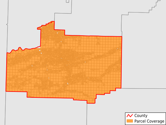
Parcels in County:
10,777
Parcel data available to download as a GDB, GeoPackage, Shapefile, Excel, CSV, or Google Earth KML file.
All purchased data comes with six months of access, including any updates, at no additional cost.
Key attribute coverage for Scott County
The percentage of Scott County parcels containing the following key attributes:
Owner: 100%
Parcel Number: 100%
Acreage (Calculated): 100%
Site Address: 55.9%
Mailing Address: 85.8%
All available attributes in Scott County
Parcel Number
Site Address
Owner
Building Size
Neighborhood Code
Land Use Code
Land Use Class
Acreage (calculated)
Perimeter
Municipality
School District
Zip Code
Census Tract
Census Block Group
Census Block
Total Market Value
Land Market Value
Building Market Value
Mail Name
Mail Address1
Mail Address3
Legal Desc1
Year Built
Total Bath
Addr Sec Unit Num
Place Gnis Code
Land Cover
Elevation
Owner Occupied
Robust Id
Usps Residential
Plss Description
Plss Township
Plss Range
Plss Section
Crop Cover
Acreage Adjacent With Sameowner
Nearest Transmission Line Dist Ft
Nearest Substation Dist Ft
Derived Geom Properties
Robust Id Source
Municipalities Respresented in Scott County
Black Fork Township: 223
Blansett Township: 589
Brawley Township: 236
Cauthron Township: 272
Cedar Township: 230
Coal Township: 281
Denton Township: 411
Hickman Township: 3,059
Hon Township: 404
Hunt Township: 265
James Township: 171
Jones Township: 125
La Fave Township: 143
Lafayette Township: 187
Lamb Township: 378
Lewis Township: 1,182
Little Texas Township: 68
Mill Creek Township: 464
Mountain Township: 417
Mount Pleasant Township: 414
Oliver Township: 214
Parks Township: 355
Tate Township: 184
Tomlinson Township: 350
Keener Township: 155
Save money when you buy data in bulk
We offer discounted pricing on county and state downloads.