Last Updated:
2026-Q1
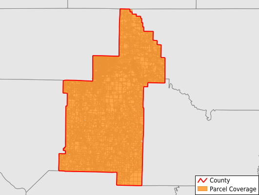
Parcels in County:
46,248
Parcel data available to download as a GDB, GeoPackage, Shapefile, Excel, CSV, or Google Earth KML file.
All purchased data comes with six months of access, including any updates, at no additional cost.
Key attribute coverage for Sharp County
The percentage of Sharp County parcels containing the following key attributes:
Owner: 99.9%
Parcel Number: 100%
Acreage (Calculated): 100%
Site Address: 97.3%
Mailing Address: 99.5%
All available attributes in Sharp County
Parcel Number
Site Address
Owner
Neighborhood Code
Land Use Code
Land Use Class
Acreage (calculated)
Perimeter
Municipality
School District
Zip Code
Flood Zone
Flood Zone Subtype
Census Tract
Census Block Group
Census Block
Total Market Value
Land Market Value
Building Market Value
Mail Name
Mail Address1
Mail Address3
Legal Desc1
Year Built
Total Bath
Addr Sec Unit Num
Place Gnis Code
Land Cover
Elevation
Owner Occupied
Robust Id
Usps Residential
Plss Description
Plss Township
Plss Range
Plss Section
Crop Cover
Acreage Adjacent With Sameowner
Flood Zones
Nearest Transmission Line Dist Ft
Nearest Substation Dist Ft
Derived Geom Properties
Robust Id Source
Municipalities Respresented in Sharp County
Big Creek Township: 545
Cave Township: 1,872
Cherokee Township: 18,382
Davidson Township: 230
East Sullivan Township: 360
Hardy Township: 6,261
Highland Township: 3,046
Jackson Township: 563
Lave Creek Township: 353
Lower North Township: 698
Morgan Township: 559
North Big Rock Township: 401
North Lebanon Township: 169
North Union Township: 219
Ozark Township: 6,143
Piney Fork Township: 1,332
Richwoods Township: 2,321
Scott Township: 418
South Big Rock Township: 223
South Lebanon Township: 314
South Union Township: 535
Strawberry Township: 269
Upper North Township: 310
Washington Township: 261
West Sullivan Township: 461
Save money when you buy data in bulk
We offer discounted pricing on county and state downloads.